LaVale in Allegany County, Maryland — The American Northeast (Mid-Atlantic)
Veterans Marker
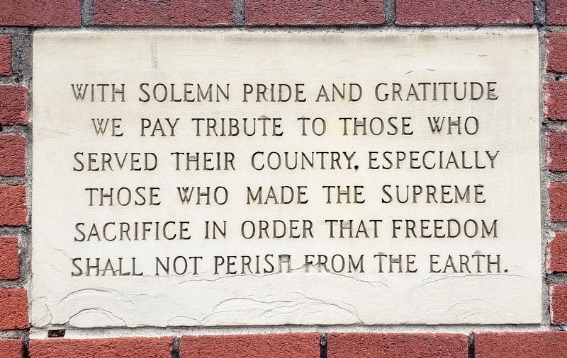
Photographed by Bradley Owen, May 30, 2021
1. Veterans Marker
Topics. This memorial is listed in this topic list: Military.
Location. 39° 39.63′ N, 78° 48.325′ W. Memorial is in LaVale, Maryland, in Allegany County. It is at the intersection of National Highway (Alternate U.S. 40) and Klosterman Avenue, on the right when traveling west on National Highway. Located on the front of the LaVale Volunteer Fire Department, Fireman's Casino. Touch for map. Memorial is at or near this postal address: 421 National Highway, Cumberland MD 21502, United States of America. Touch for directions.

Regionally, this memorial is in Western Maryland. It is also in the American Mid-Atlantic, in Appalachia, and specifically in Northern Appalachia. Globally, it is in North America, the Western Hemisphere, the Western World, and the Anglosphere. Historically, it finds itself in what was once one of the original Thirteen Colonies.
Other nearby markers. At least
this page online
Another marker is no longer nearby. The Narrows (was approx. 1.3 miles away but has been replaced with another marker now near it).
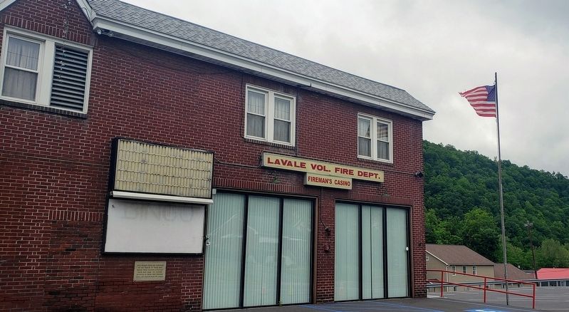
Photographed by Bradley Owen, May 30, 2021
2. Veterans Marker
Credits. This page was last revised on June 1, 2021. It was originally submitted on May 30, 2021, by Bradley Owen of Morgantown, West Virginia. This page has been viewed 208 times since then and 11 times this year. Photos: 1, 2. submitted on May 30, 2021, by Bradley Owen of Morgantown, West Virginia. • Bill Pfingsten was the editor who published this page.
