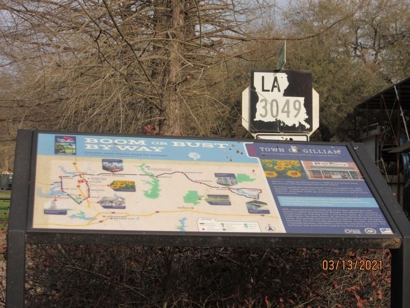
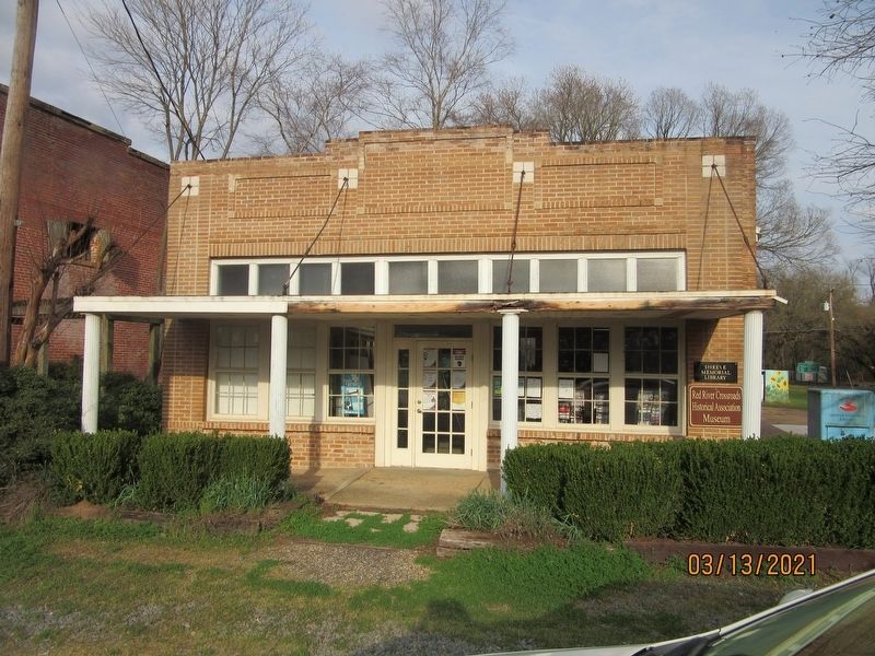
Town of Gilliam
Home of the Sunflower Festival and Red River Crossroads Museum
After R.L. Gilliam donated property in 1898 for the railroad depot, the area was officially founded and named Gilliam.
An article published in the Shreveport Times on November 8, 1898, described "Caddo's New Town" as having a post office, competent physician, drug store, public gin and mercantile store as well as a brick-making industry.
With cotton being the principal crop of the area, several gins were located in Gilliam throughout the decades. The Gilliam Gin Company, located south on Highway 3049, is one of five cotton gins remaining in Caddo Parish. The area's history can also be experienced during annual events. The Heritage and Harvest Tour is held on the fourth Saturday in September. The tour includes plantation homes, churches, the Red River Crossroads Museum, the Gilliam Cotton Gin and otter attractions. The Sunflower Trail and Festival is held on the third Saturday in June.
Erected by Shreveport-Bossier Convention and Tourist Bureau.
Topics. This historical marker is listed in these topic lists: Railroads & Streetcars • Settlements & Settlers. A significant historical year for this entry is 1898.
Location. 32° 49.627′ N, 93° 50.696′ W. Marker is
Other nearby markers. At least 8 other markers are within 3 miles of this marker, measured as the crow flies. Caddo Prairie Crossroads (a few steps from this marker); Gilliam Louisiana (a few steps from this marker); TS&N/T&P Railroad (within shouting distance of this marker); Gilliam United Methodist Church (about 500 feet away, measured in a direct line); Linda Lay Memorial (about 700 feet away); Reuben Thom Douglas Home (about 700 feet away); Justice Chapel Baptist Church (approx. 1.8 miles away); Lynn Plantation (approx. 2.4 miles away). Touch for a list and map of all markers in Gilliam.
Credits. This page was last revised on May 30, 2021. It was originally submitted on May 30, 2021, by Jason Armstrong of Talihina, Oklahoma. This page has been viewed 264 times since then and 24 times this year. Photos: 1, 2. submitted on May 30, 2021, by Jason Armstrong of Talihina, Oklahoma. • Mark Hilton was the editor who published this page.
Editor’s want-list for this marker. Closeup photo of marker and a wide shot of the marker and its surroundings. • Can you help?

