Thomasville in Thomas County, Georgia — The American South (South Atlantic)
Thomas County
Photographed by Cosmos Mariner, May 2, 2021
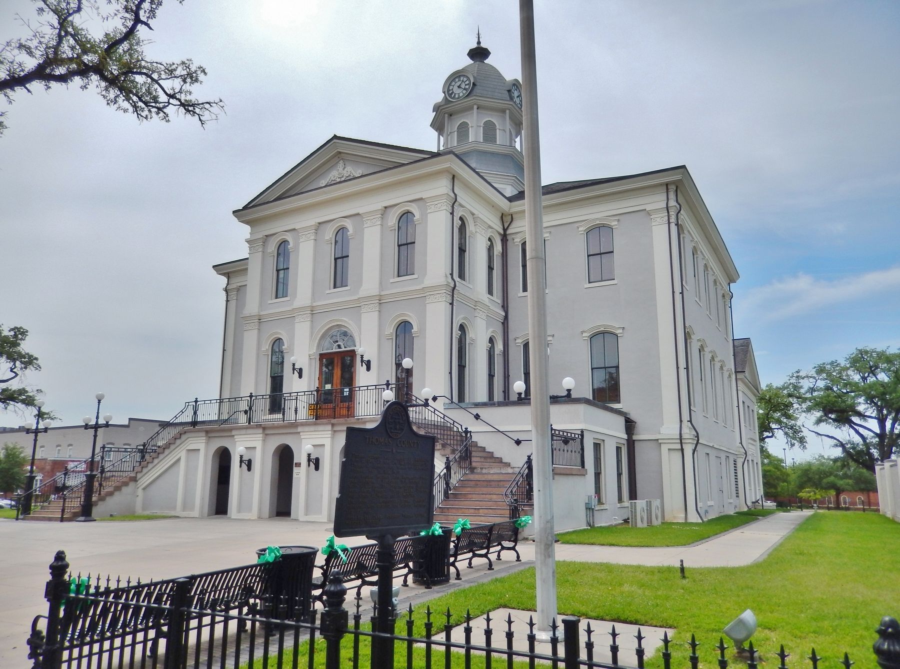
1. Thomas County Marker
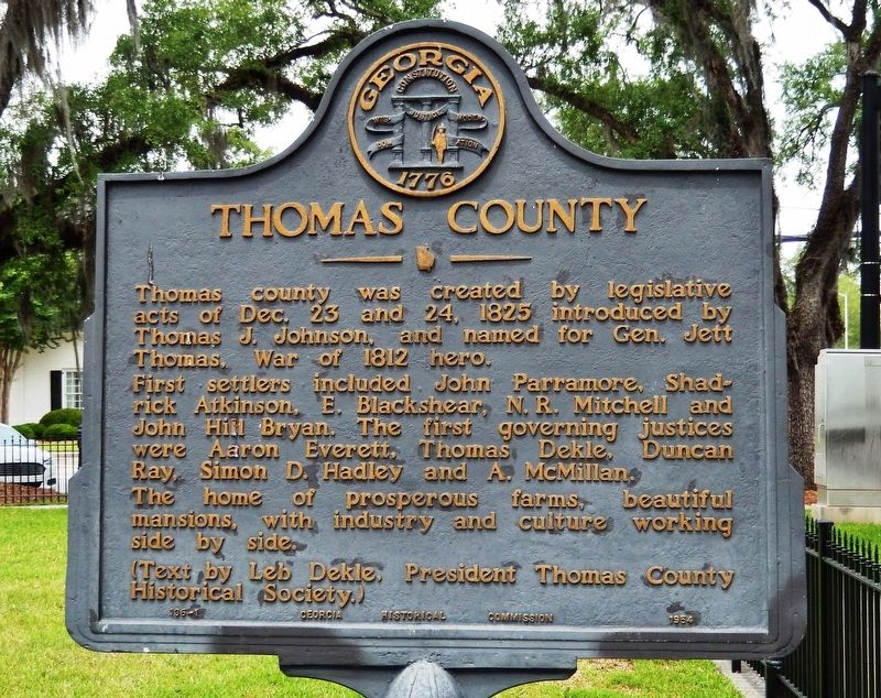
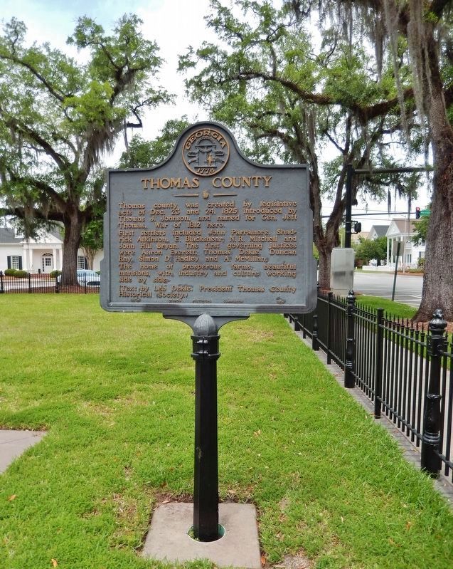
Thomas county was created by legislative acts of Dec. 23 and 24, 1825 introduced by Thomas J. Johnson, and named for Gen. Jett Thomas, War of 1812 hero.
First settlers included John Parramore, Shadrick Atkinson, E. Blackshear, N.R. Mitchell and John Hill Bryan. The first governing justices were Aaron Everett, Thomas Dekle, Duncan Ray, Simon D. Hadley and A. McMillan.
The home of prosperous farms, beautiful mansions, with industry and culture working side by side.
(Text by Leb Dekle, President Thomas County Historical Society.)
Erected 1954 by Georgia Historical Commission. (Marker Number 136-1.)
Topics and series. This historical marker is listed in these topic lists: Settlements & Settlers • War of 1812. In addition, it is included in the Georgia Historical Society series list. A significant historical date for this entry is December 23, 1825.
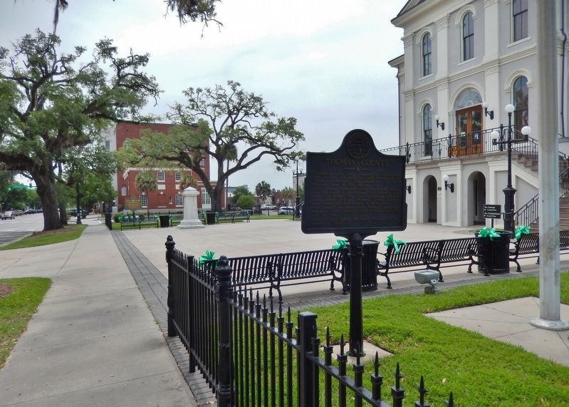
Location. 30° 50.337′ N, 83° 58.908′ W. Marker is in Thomasville, Georgia, in Thomas County. It is on North Broad Street just south of West Washington Street, on the right when traveling south. Marker is located on the grounds of the former (historic) Thomas County Courthouse, near the
this page online

Regionally, this marker is on the Coastal Plain. It is also in the American South, specifically in the Deep South, and in the Wiregrass. Globally, it is in North America, the Western Hemisphere, the Western World, and the Anglosphere. Historically, it finds itself in what was once the territory of the Mississippian Culture, one of the original Thirteen Colonies, one of the Confederate States of America, and the Antebellum South.
Other nearby markers. At least 8 other markers are within walking distance of this marker: Thomas County Confederate Monument (within shouting distance of this marker); Thomas County Honors African-American Leaders (within shouting distance of this marker); Old Post Office (about 300 feet away, measured in a direct line); The Big Oak (approx. 0.2 miles away); Thomas Drug Store (approx. 0.2 miles away); The Plaza Restaurant (approx. 0.3 miles away); Flowers Baking Company (approx. 0.3 miles away); Old Coffee Road (approx. 0.4
Photographed by Cosmos Mariner, May 2, 2021
2. Thomas County Marker
Also see . . . Thomas County. Wikipedia entry:
The county is named for Jett Thomas, officer in the War of 1812 who is also known for overseeing the construction of the first building at the University of Georgia (originally referred to as Franklin College and known today as Old College) as well as the old state capitol at Milledgeville. (Submitted on May 31, 2021, by Cosmos Mariner of Cape Canaveral, Florida.)
via City of Thomasville, Unknown
3. Masury Hotel
Photographed by Cosmos Mariner, May 2, 2021
4. Thomas County Marker
Photographed by Cosmos Mariner, May 2, 2021
5. Thomas County Marker
Credits. This page was last revised on September 19, 2022. It was originally submitted on May 30, 2021, by Cosmos Mariner of Cape Canaveral, Florida. This page has been viewed 764 times since then and 77 times this year. Last updated on May 31, 2021, by Bradley Owen of Morgantown, West Virginia. Photos: 1, 2. submitted on May 30, 2021, by Cosmos Mariner of Cape Canaveral, Florida. 3. submitted on September 19, 2022, by Larry Gertner of New York, New York. 4, 5. submitted on May 30, 2021, by Cosmos Mariner of Cape Canaveral, Florida. • J. Makali Bruton was the editor who published this page.
