Burning Springs in Wirt County, West Virginia — The American South (Appalachia)
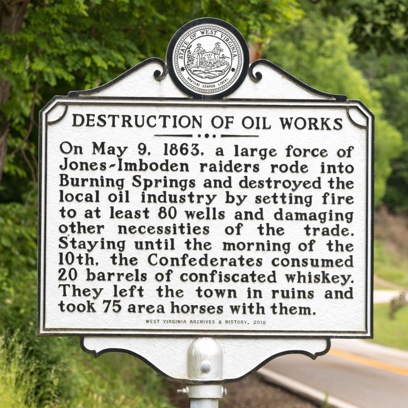
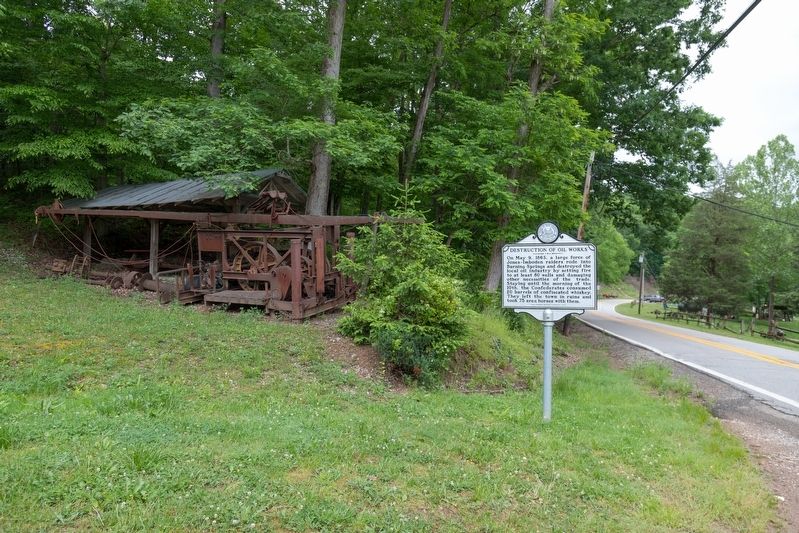
Destruction of Oil Works
Erected 2016 by West Virginia Archives & History.
Topics. This historical marker is listed in this topic list: War, US Civil. A significant historical date for this entry is May 9, 1863.
Location. 38° 59.504′ N, 81° 19.179′ W. Marker is in Burning Springs, West Virginia, in Wirt County. Marker is on Little Kanawha Parkway (West Virginia Route 5) 0.9 miles north of Straight Creek-Burning Spring Road (County Route 34), on the left when traveling east. Touch for map. Marker is in this post office area: Creston WV 26141, United States of America. Touch for directions.
Other nearby markers. At least 8 other markers are within 7 miles of this marker, measured as the crow flies. Rathbone Well (a few steps from this marker); Burning Springs Oil Field (a few steps from this marker); Population Center (approx. 0.7 miles away); Ruble Church (approx. 1˝ miles away); Murder of William B. Dulin (approx. 3 miles away); Buffalo Church (approx. 5.7 miles away); Historical Elizabeth (approx. 6.4 miles away); Wirt County Honor Roll (approx. 6.4 miles away). Touch for a list and map of all markers in Burning Springs.
Credits. This page was last revised on June 1, 2021. It was originally submitted on June 1, 2021, by J. J. Prats of Powell, Ohio. This page has been viewed 178 times since then and 20 times this year. Photos: 1, 2, 3. submitted on June 1, 2021, by J. J. Prats of Powell, Ohio.


