Near Weskan in Wallace County, Kansas — The American Midwest (Upper Plains)
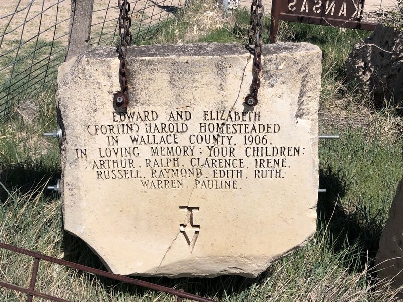
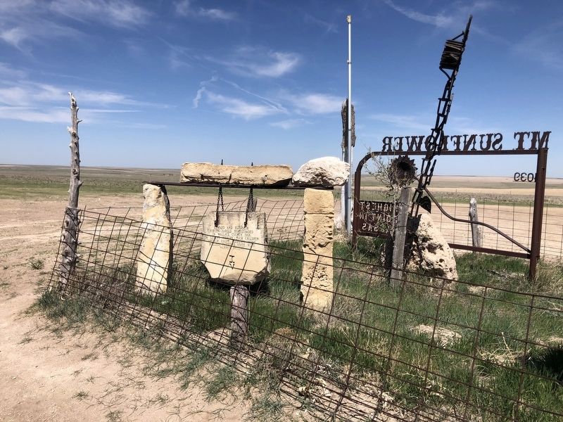
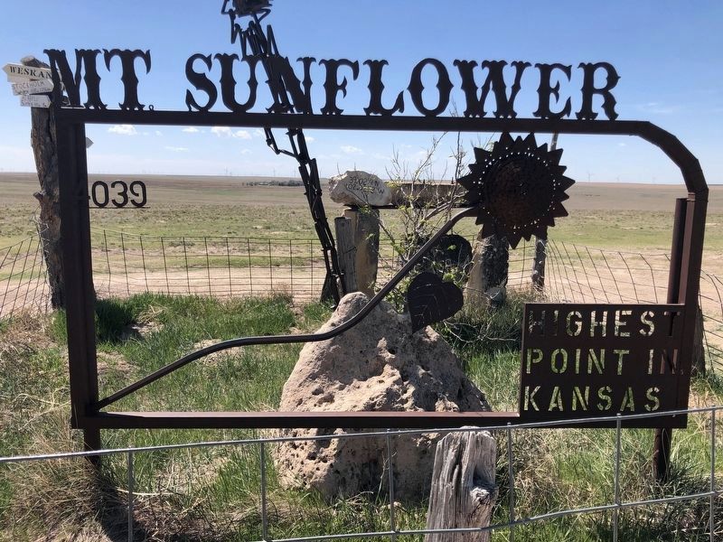
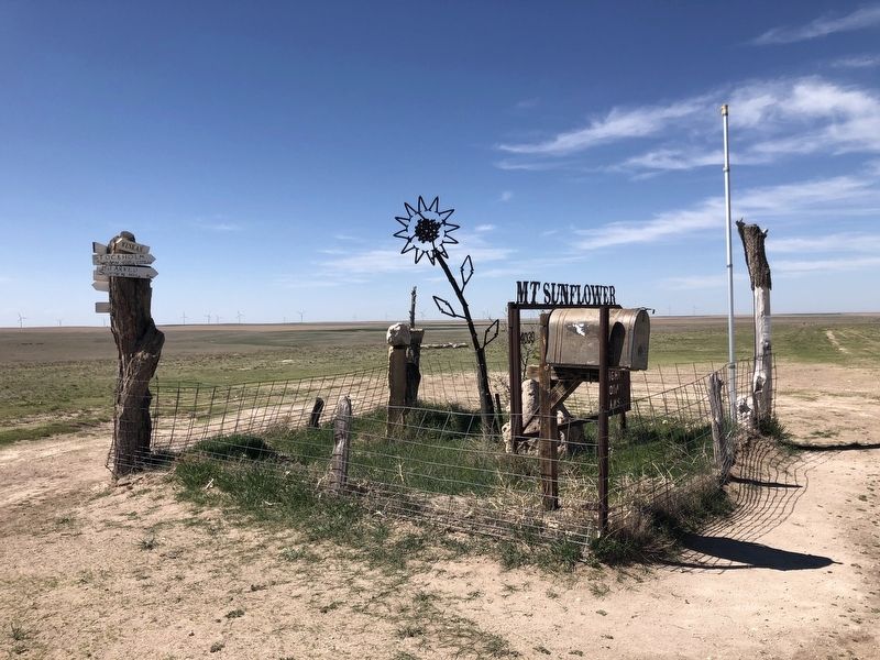
Mount Sunflower
Photographed by Ruth VanSteenwyk, May 7, 2021
1. Mount Sunflower Marker
Erected by The children of Edward and Elizabeth Harold.
Topics. This historical marker is listed in this topic list: Settlements & Settlers. A significant historical year for this entry is 1906.
Location. 39° 1.317′ N, 102° 2.24′ W. Marker is near Weskan, Kansas, in Wallace County. It can be reached from County Road WW 1.4 miles west of County Road N3, on the right when traveling west. The marker is located .33 miles north on a field access off Road Wa WW. Touch for map. Marker is in this post office area: Weskan KS 67762, United States of America. Touch for directions.

Regionally, this marker is in the American Midwest, in the Corn Belt, on the prairies, on the Great Plains, on the Southern Plains, and specifically on the High Plains. Globally, it is in North America, the Western Hemisphere, the Western World, and the Anglosphere. Historically, it finds itself in what was once the Louisiana Purchase.
Other nearby markers. At least 2 other markers are within 12 miles of this marker, measured as the crow flies: Butterfield Stage Line
this page online
Also see . . . "Mount" Sunflower - the highest point in Kansas. (Submitted on June 7, 2021.)
Photographed by Ruth VanSteenwyk, May 7, 2021
2. Mount Sunflower Marker
Photographed by Ruth VanSteenwyk, May 7, 2021
3. Mount Sunflower Marker
Mount Sunflower
4039
Highest point in Kansas
Photographed by Ruth VanSteenwyk, May 7, 2021
4. Mount Sunflower Marker
Credits. This page was last revised on June 7, 2021. It was originally submitted on June 1, 2021, by Ruth VanSteenwyk of Aberdeen, South Dakota. This page has been viewed 352 times since then and 35 times this year. Photos: 1, 2, 3, 4. submitted on June 1, 2021, by Ruth VanSteenwyk of Aberdeen, South Dakota. • Devry Becker Jones was the editor who published this page.
