Castile in Wyoming County, New York — The American Northeast (Mid-Atlantic)
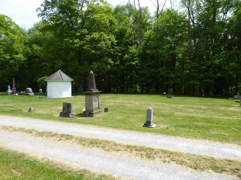
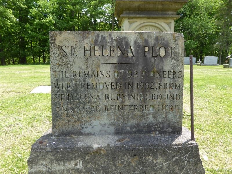
St. Helena Plot
The remains of 92 pioneers were removed in 1952, from St Helena burying ground and were reinterred here
Topics. This historical marker is listed in these topic lists: Cemeteries & Burial Sites • Settlements & Settlers. A significant historical year for this entry is 1952.
Location. 42° 37.925′ N, 78° 2.77′ W. Marker is in Castile, New York, in Wyoming County. Marker can be reached from Buffalo Street south of Chapel Street, on the right when traveling east. Located in the Grace Cemetery, Castile, NY. Touch for map. Marker is in this post office area: Castile NY 14427, United States of America. Touch for directions.
Other nearby markers. At least 8 other markers are within 3 miles of this marker, measured as the crow flies. Votes for Women (approx. ¼ mile away); Whaley Tavern (approx. one mile away); Gardeau Tract (approx. 2.3 miles away); Wolf Creek (approx. 2.3 miles away); a different marker also named Gardeau Tract (approx. 2.6 miles away); CCC Camp 76, SP 37 at Work (approx. 2.7 miles away); Site of St Helena Camp 76, SP 37 (approx. 2.8 miles away); St. Helena (approx. 2.8 miles away). Touch for a list and map of all markers in Castile.
Regarding St. Helena Plot. The village of St. Helena was originally part of Mary Jemison's Gardeau Reservation. Settlers moved here after she sold most of her property in 1823. At its peak, St. Helena was a prosperous riverside hamlet with a flour mill, two sawmills, a shingle mill, paper mill, two general stores, a hotel, and 25 dwellings. In the 1930s, with few people still living in St. Helena, the utility companies acquired the land with plans to build a power-generating dam at Mt. Morris. In 1950, as a flood-control dam neared completion, the last homes were removed, the cemetery relocated to Castile in 1952. Today, St. Helena's fields and foundations are covered with 15 feet of mud that has settled from flood waters held behind the Mt. Morris Dam.

Photographed By Bruce Kelly, May 21, 2021
2. St. Helena Plot
The marker stone is in front of the reinterment location. There were only 8 marker stones found at the burial location of the 92 pioneers. Those were placed at the proper graves. Each unidentified grave was marked as that of a child or an an adult.
Credits. This page was last revised on June 3, 2021. It was originally submitted on June 1, 2021, by Bruce Kelly of Perry, New York. This page has been viewed 186 times since then and 33 times this year. Photos: 1, 2. submitted on June 1, 2021, by Bruce Kelly of Perry, New York. • Michael Herrick was the editor who published this page.
