Shepherdsville in Bullitt County, Kentucky — The American South (East South Central)
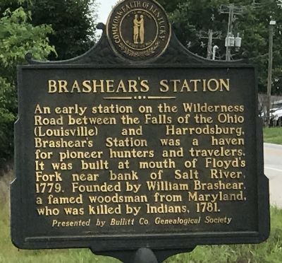
Brashear's Station
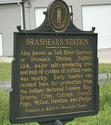
Also known as Salt River Garrison or Froman's Station. Bullitt's Lick, major salt producing area and hub of system of buffalo roads, was nearby. Early families who resided here for protection from the Indians included Froman, Ray, Briscoe, Crist, Collings, Overall, Pope, McGee, Hawkins, and Phelps.
Erected by Kentucky Historical Society and Kentucky Department of Highways. (Marker Number 1944.)
Topics and series. This historical marker is listed in these topic lists: Forts and Castles • Settlements & Settlers. In addition, it is included in the Kentucky Historical Society series list. A significant historical year for this entry is 1779.
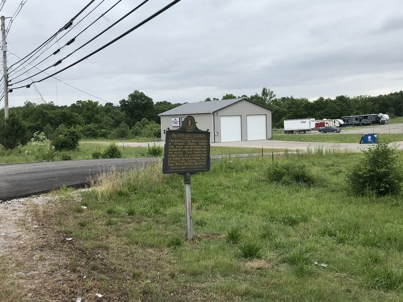
Location. 38° 0.162′ N, 85° 41.083′ W. Marker is in Shepherdsville, Kentucky, in Bullitt County. Marker is on East 4th Street (Kentucky Route 44) 0.1 miles County Road 1124, on the right when traveling east. Touch for map. Marker is at or near this postal address: 2089 KY-44 East, Shepherdsville KY 40165, United States of America. Touch for directions.
Other nearby markers. At least 8 other markers are within 3 miles of this marker, measured as the crow flies. Alma Wallace Lesch (approx. 1.9 miles away); The 1917 Train Wreck (approx. 2 miles away); Bullitt County Veterans Memorial (approx. 2 miles away); County Named, 1796 (approx. 2 miles away); Adam Shepherd (approx. 2 miles away); Fort DeWolf (approx. 2.2 miles away); L & N Bridge - Civil War (approx. 2.2 miles away); Morgan - On To Ohio (approx. 2.2 miles away). Touch for a list and map of all markers in Shepherdsville.
Credits. This page was last revised on June 1, 2021. It was originally submitted on June 1, 2021, by Duane and Tracy Marsteller of Murfreesboro, Tennessee. This page has been viewed 334 times since then and 23 times this year. Photos: 1, 2, 3. submitted on June 1, 2021, by Duane and Tracy Marsteller of Murfreesboro, Tennessee.


