Cordele in Crisp County, Georgia — The American South (South Atlantic)
Governor Joseph E. Brown Executive Mansion Site
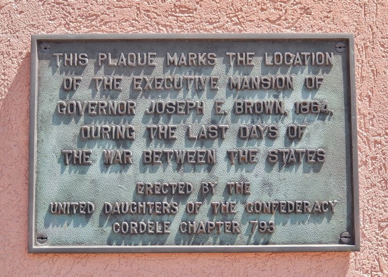
Inscription.
of the Executive Mansion of
Governor Joseph E. Brown, 1864,
during the last days of
the War Between the States
Erected by the
United Daughters of the Confederacy
Cordele Chapter 793
Erected by Cordele Chapter 793, United Daughters of the Confederacy.
Topics and series. This historical marker is listed in this topic list: War, US Civil. In addition, it is included in the United Daughters of the Confederacy series list. A significant historical year for this entry is 1864.
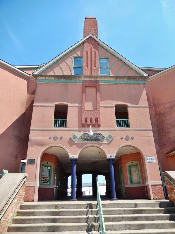
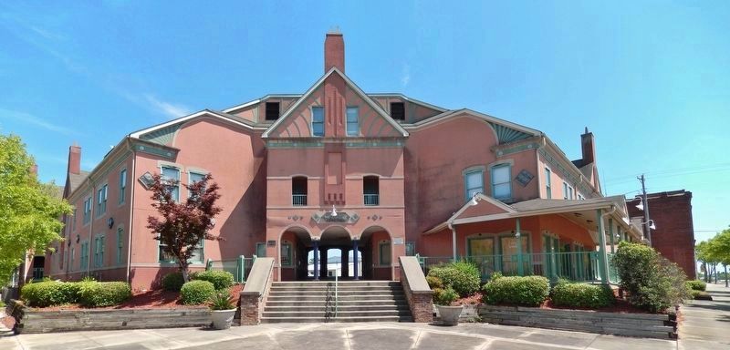
Location. 31° 58.136′ N, 83° 46.943′ W. Marker is in Cordele, Georgia, in Crisp County. Marker can be reached from the intersection of South 7th Street (U.S. 41) and 11th Avenue East, on the right when traveling north. Marker is mounted at eye-level just to the left of the Suwannee House apartment complex entrance at the southeast corner of the intersection. Touch for map. Marker is at or near this postal address: 101 South 7th Street, Cordele GA 31015, United States of America. Touch for directions.
Other nearby markers. At least 8 other markers are within walking distance of this marker. Capitol of Georgia Site • 1865 (a few steps from this marker); Georgia Southern & Florida Railway (about 500 feet away, measured in a direct line); Georgia & Albany Railway (about 500 feet away); Savannah, Americus & Montgomery Railway (about 500 feet away); Atlantic & Birmingham Railway (about 500 feet away); Union Depot (about 600 feet away); Georgia Southern & Florida Railroad (about 600 feet away); Americus, Preston and Lumpkin Railroad (about 600 feet away). Touch for a list and map of all markers in Cordele.
Related markers. Click here for a list of markers that are related to this marker.
Also see . . . Cordele, Georgia (Wikipedia). In November 1864, the area that is now Cordele served as the temporary capital of Georgia. During the last days of the Confederacy, Georgia's war governor Joseph E. Brown used his rural farmhouse to escape the wrath of Sherman's March to the Sea. During that time, the farmhouse, which Brown called "Dooly County Place," served as the official capital for only a few days. It was replaced in 1890 by the Suwanee Hotel, located in what became downtown Cordele. The hotel was destroyed by a fire in late 1994 and was rebuilt. (Submitted on June 1, 2021, by Cosmos Mariner of Cape Canaveral, Florida.)
Credits. This page was last revised on June 2, 2021. It was originally submitted on June 1, 2021, by Cosmos Mariner of Cape Canaveral, Florida. This page has been viewed 214 times since then and 31 times this year. Photos: 1, 2, 3. submitted on June 1, 2021, by Cosmos Mariner of Cape Canaveral, Florida.


