Near Glenville in Gilmer County, West Virginia — The American South (Appalachia)
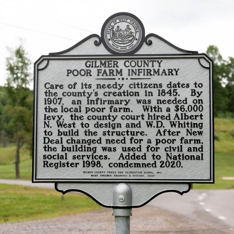
Gilmer County Poor Farm Infirmary
Erected 2020 by Gilmer County Parks and Recreation Board, Inc., and West Virginia Archives & History.
Topics. This historical marker is listed in this topic list: Charity & Public Work. A significant historical year for this entry is 1845.
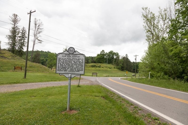
Location. 38° 57.13′ N, 80° 49.703′ W. Marker is near Glenville, West Virginia, in Gilmer County. Marker is at the intersection of Sycamore Road (County Route 12) and Sycamore Run Road (Local Road 12/7), on the left when traveling north on Sycamore Road. It is 1.4 miles north of Route 5, Little Kanawha Parkway. Touch for map. Marker is in this post office area: Glenville WV 26351, United States of America. Touch for directions.
Other nearby markers. At least 8 other markers are within 2 miles of this marker, measured as the crow flies. Samuel Lewis Hays (approx. 0.9 miles away); Fort Moore (approx. 1.1 miles away); Glenville State College Presidents (approx. 1.1 miles away); Attack on Glenville (approx. 1.1 miles away); Fallen Post Oak (approx. 1.1 miles away); Glenville State College World War II Veterans Memorial (approx. 1.1 miles away); Old Glenville Cemetery (approx. 1.2 miles away); Clemons Tower (approx. 1.2 miles away). Touch for a list and map of all markers in Glenville.

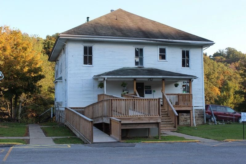
By ATothS (CC ) via Wikimedia Commons, October 1, 2013
3. Gilmer County Poor Farm Infirmary Building in 2013
Credits. This page was last revised on June 2, 2021. It was originally submitted on June 2, 2021, by J. J. Prats of Powell, Ohio. This page has been viewed 326 times since then and 75 times this year. Photos: 1, 2, 3. submitted on June 2, 2021, by J. J. Prats of Powell, Ohio.

