Delaware City in New Castle County, Delaware — The American Northeast (Mid-Atlantic)
The Lock at Delaware City
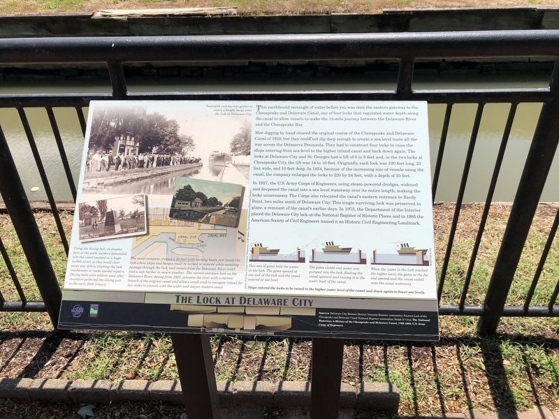
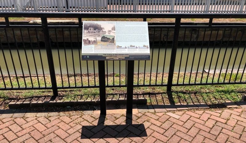
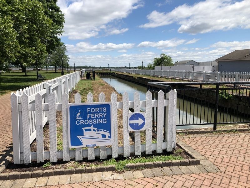
This earthbound rectangle of water before you was once the eastern gateway to the Chesapeake and Delaware Canal, one of four locks that regulated water depth along the canal to allow vessels to make the 14-mile journey between the Delaware River and the Chesapeake Bay.
Men digging by hand cleared the original course of the Chesapeake and Delaware Canal of 1829, but they could not dig deep enough to create a sea level route all the way across the Delmarva Peninsula. They had to construct fou locks to raise the ships entering from sea level to the higher inland canal and back down again. The locks at Delaware City and St. Georges had a lift of 6 to 8 feet and, in the two locks at Chesapeake City, the life was 14 to 16 feet. Originally, each lock was 100 feet long, 22 feet wide, and 10 feet deep. In 1854, because of the increasing size of vessels using the canal, the company enlarged the locks to 220 by 24 feet, with a depth of 10 feet.
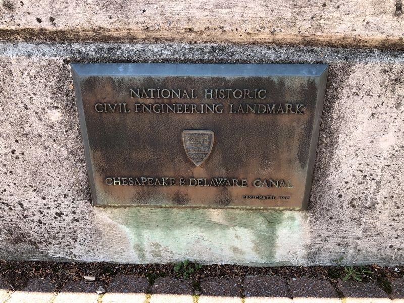
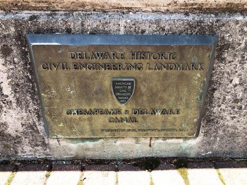
In 1927, the U.S. Army Corps of Engineers, using steam-powered dredges, widened and deepened the canal into a sea level waterway over its entire length, making the locks unnecessary. The Corps also relocated the canal's eastern entrance to Reedy Point, two miles south of Delaware City. This single surviving lock was preserved in place, a remnant of the canal's earlier days. In 1975, the Department of the Interior placed the Delaware City lock on the National Register of Historic Places and in 1985 the American Society of Civil Engineers named it an Historic Civil Engineering Landmark.
[Captions:]
Using the diving bell, on display here in the park, workers descended into the canal encased in a huge bubble of air, so they could clear away any debris blocking the lock mechanism or make needed repairs. Diving bells were seldom used after inventors perfected the diving suit in the early 20th century.
The canal company created a 90-foot-wide turning basin just inside the lock where ships and barges could be turned or moored while awaiting passage through the lock, and vessels from the Delaware River could find a safe harbor in severe weather. The current entrance here on the Delaware River, dating from 1927, connects the river with a narrow branch of the original canal and allows small craft to navigate inland for two miles to connect with the wider and deeper modern canal.
Ships entered the locks to be raised to the higher water level of the canal and down again to lower sea levels.
Two sets of gates held the water in the lock. The gates opened at one end of the lock and the vessel entered at sea level.
The gates closed and water was pumped into the lock, floating the vessel
When the water in the lock reached the higher level, the gates at the far end opened and the vessel exited onto the canal waterway.
Erected by City of Delaware City, Delaware; Delaware Land & Water Conservation Trust Fund.
Topics and series. This historical marker is listed in these topic lists: Industry & Commerce • Waterways & Vessels. In addition, it is included in the Chesapeake & Delaware (C&D) Canal series list. A significant historical year for this entry is 1829.
Location. 39° 34.724′ N, 75° 35.25′ W. Marker is in Delaware City, Delaware, in New Castle County. Marker is on Clinton Street, 0.1 miles north of Front Street, on the right when traveling north. Touch for map. Marker is at or near this postal address: 55 Clinton St, Delaware City DE 19706, United States of America. Touch for directions.
Other nearby markers. At least 8 other markers are within walking distance of this marker. The Diving Bell (within shouting distance of this marker); Building the C&D Canal (within shouting distance of this marker); Historic Delaware City (within shouting distance of this marker); Small But Mighty (within shouting distance of this marker); Sailing on the C&D Canal (within shouting distance of this marker); Fishing, Hunting & Trapping
Photographed By Devry Becker Jones (CC0), May 31, 2021
4. National Historic Civil Engineering Landmark plaque for the canal
Photographed By Devry Becker Jones (CC0), May 31, 2021
5. Delaware Historic Civil Engineering Landmark plaque for the canal
Credits. This page was last revised on February 1, 2023. It was originally submitted on June 2, 2021, by Devry Becker Jones of Washington, District of Columbia. This page has been viewed 275 times since then and 50 times this year. Photos: 1, 2, 3, 4, 5. submitted on June 2, 2021, by Devry Becker Jones of Washington, District of Columbia.
