Near Blacksburg in York County, South Carolina — The American South (South Atlantic)
God Save the King!
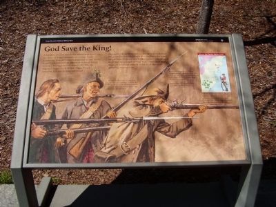
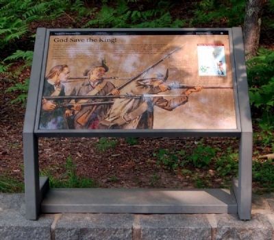
A battalion of loyal Americans stood battle-ready on the spine of Kings Mountain above you. Lord Cornwallis' powerful army had ground its way north from Charleston with an unbroken string of British victories. Throughout the summer of 1780, His Majesty's Inspector of Militia, Major Patrick Ferguson, had successfully convinced thousands of Carolina men to take up arms to defend the government under which they had been born and raised. Now Ferguson and 1,000 loyalists - one third of the King's army south of New York - had taken their stand on this ridge, primed to finish off the rebels gathering around them.
In the background of the marker are depictions of the Tory soldiers.
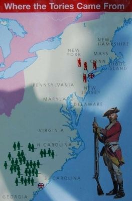
Most of the Tories who fought here came from the Carolinas. Just like the Whigs, they had no military uniforms. A green sprig of pine in their hats was their only identification.
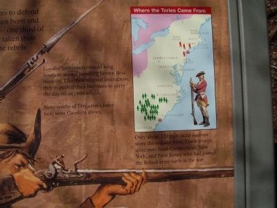
Loyalists militia trained long hours to master handling Brown Bess muskets. Like their redcoat instructors, they expected their bayonets to carry the day on any battlefield.
Nine-tenths of Ferguson's force here were Carolina Tories.
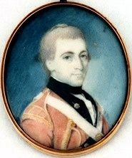
Only about 120 provincial soldiers wore the redcoat here. These troops were men from Connecticut, New York, and New Jersey who had joined the British army early in the war.
Erected by National Park Service.
Topics. This historical marker is listed in this topic list: War, US Revolutionary. A significant historical year for this entry is 1780.
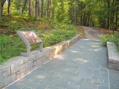
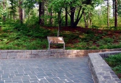
Location. 35° 8.494′ N, 81° 22.636′ W. Marker is near Blacksburg, South Carolina, in York County. Marker can be reached from Kings Mountain Park Road, on the right when traveling east. Located along a 1.5 mile walking trail around the Kings Mountain Battlefield, northwest of the museum's rear entrance. Touch for map. Marker is in this post office area: Blacksburg SC 29702, United States of America. Touch for directions.
Other nearby markers. At least 10 other markers are within walking distance of this marker. Liberty! (here, next to this marker); Carolina Backwoodsmen (a few steps from this marker); Americans Vanquished (within shouting distance of this marker); American Victors (about 300 feet away, measured in a direct line); Two Parks, One Mountain (about 300 feet away); Kings Mountain Battlefield Trail (about 400 feet away); Fighting in a Forest Primeval (about 400 feet away); Major Winston's (about 500 feet away); Colonel Patrick Ferguson Memorial (about 700 feet away); Col. Ferguson Fell (approx. 0.2 miles away). Touch for a list and map of all markers in Blacksburg.
Also see . . .
1. Kings Mountain National Military Park (U.S. National Park Service). Thomas Jefferson called it "The turn of the tide of success." (Submitted on September 4, 2010, by Brian Scott of Anderson, South Carolina.)
2. Kings Mountain National Military Park. Kings Mountain National Military Park is a National Military Park near Blacksburg, South Carolina, along the North Carolina/South Carolina border. (Submitted on September 4, 2010, by Brian Scott of Anderson, South Carolina.)
3. Kings Mountain National Military Park. The Battle at Kings Mountain, fought between British loyalist forces and American patriots on October 7, 1780, ended a string of British successes in the Carolinas and Georgia. (Submitted on September 4, 2010, by Brian Scott of Anderson, South Carolina.)
4. Charles Cornwallis, 1st Marquess Cornwallis. Charles Cornwallis, 1st Marquess Cornwallis KG (31 December 1738 – 5 October 1805), styled Viscount Brome between 1753 and 1762 and known as The Earl Cornwallis between 1762 and 1792, was a British Army officer and colonial administrator. (Submitted on September 4, 2010, by Brian Scott of Anderson, South Carolina.)
5. Patrick Ferguson. Major Patrick Ferguson (1744 – October 7, 1780) was a Scottish officer in the British Army, early advocate of light infantry and designer of the Ferguson rifle. (Submitted on September 4, 2010, by Brian Scott of Anderson, South Carolina.)
Credits. This page was last revised on November 27, 2020. It was originally submitted on March 29, 2009, by Stanley and Terrie Howard of Greer, South Carolina. This page has been viewed 991 times since then and 15 times this year. Photos: 1. submitted on March 30, 2009, by Stanley and Terrie Howard of Greer, South Carolina. 2. submitted on September 4, 2010, by Brian Scott of Anderson, South Carolina. 3. submitted on March 30, 2009, by Stanley and Terrie Howard of Greer, South Carolina. 4. submitted on September 4, 2010, by Brian Scott of Anderson, South Carolina. 5. submitted on August 22, 2010, by Bill Coughlin of Woodland Park, New Jersey. 6, 7, 8. submitted on September 4, 2010, by Brian Scott of Anderson, South Carolina. • Bill Pfingsten was the editor who published this page.
