Central Oklahoma City in Oklahoma County, Oklahoma — The American South (West South Central)
Saurophaganax Maximus
The Red River Journey
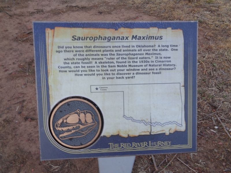
Photographed by Jason Voigt, April 9, 2021
1. Saurophaganax Maximus Marker
Topics. This historical marker is listed in these topic lists: Animals • Paleontology.
Location. 35° 29.612′ N, 97° 29.924′ W. Marker is in Oklahoma City, Oklahoma, in Oklahoma County. It is in Central Oklahoma City. It can be reached from Nazih Zuhdi Drive west of North Laird Avenue. Marker is part of the Red River Journey pathway, which is on the grounds of the Oklahoma History Center. Touch for map. Marker is at or near this postal address: 800 Nazih Zuhdi Drive, Oklahoma City OK 73105, United States of America. Touch for directions.

Regionally, this marker is in Central Oklahoma—Frontier
this page online
Other nearby markers. At least 8 other markers are within walking distance of this marker: Warren's Trading Post (here, next to this marker); Big Pasture (here, next to this marker); Fort Sill (here, next to this marker); Kiowa, Comanche and Apache Reservation (a few steps from this marker); San Bernardo (a few steps from this marker); Indian Blanket Flower (a few steps from this marker); Hackberry Flat (a few steps from this marker); The Chisholm Trail (within shouting distance of this marker). Touch for a list and map of all markers in Oklahoma City.
Additional keywords. Saurophaganax Maximus
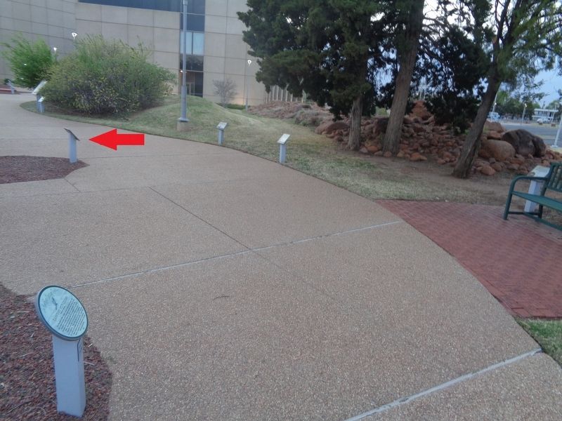
Photographed by Jason Voigt, April 9, 2021
2. Saurophaganax Maximus Marker
Marker is where the red arrow points, on the Red River Journey walkway.
Credits. This page was last revised on February 16, 2023. It was originally submitted on June 3, 2021, by Jason Voigt of Glen Carbon, Illinois. This page has been viewed 412 times since then and 24 times this year. Photos: 1, 2. submitted on June 3, 2021, by Jason Voigt of Glen Carbon, Illinois.
