Safety Harbor in Pinellas County, Florida — The American South (South Atlantic)
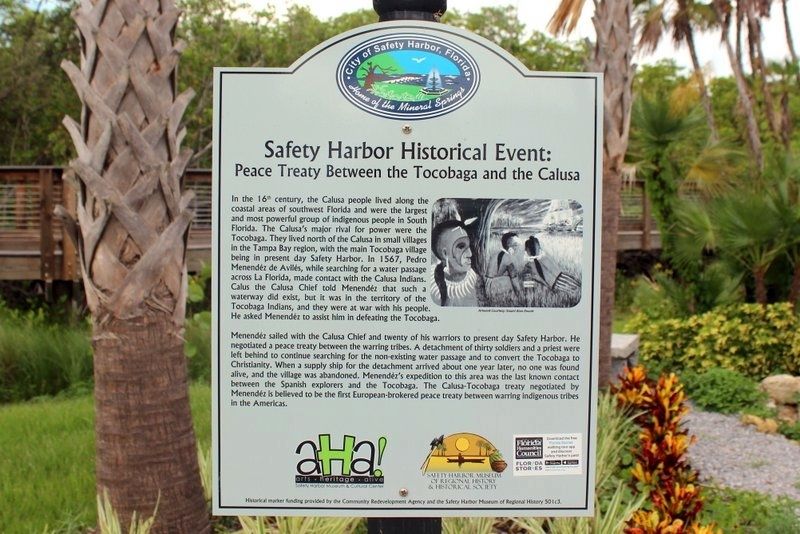
Safety Harbor Historical Event: Peace Treaty Between the Tocobaga and the Calusa
Inscription.
In the 16th century, the Calusa people lived along the coastal areas of southwest Florida and were the largest and most powerful group of indigenous people in South Florida. The Calusa's major rival for power were the Tocobaga. They lived north of the Calusa in small villages in the Tampa Bay region, with the main Tocobaga village being in present day Safety Harbor. In 1567, Pedro Menendez de Aviles, while searching for a water passage across La Florida, made contact with the Calusa Indians. Calus the Calusa Chief told Menendez that such a waterway did exist, but it was in the territory of the Tocobaga Indians, and they were at war with his people. He asked Menendez to assist him in defeating the Tocobaga.
Menendez sailed with the Calusa Chief and twenty of his warriors to present day Safety Harbor. He negotiated a peace treaty between the warring tribes. A detachment of thirty soldiers and a a priest were left behind to continue searching for the non-existing water passage and to convert the Tocobaga to Christianity. When a supply ship for the detachment arrived about one year later, no one was found alive, and the village abandoned. Menendez's expedition to this area was the last known contact between the Spanish explorers and the Tocobaga. The Calusa-Tocobaga treaty negotiated by Menendez is believed to be the first European-brokered peace treaty between warring indigenous tribes in the Americas.
Erected by Community Redevelopment Agency and the Safety Harbor Museum of Regional History.
Topics. This historical marker is listed in these topic lists: Native Americans • Settlements & Settlers. A significant historical year for this entry is 1567.
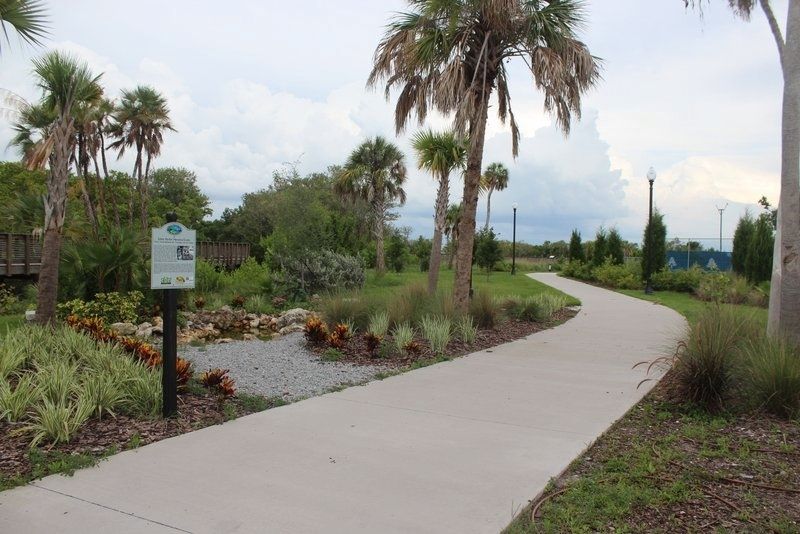
Location. 27° 59.531′ N, 82° 41.154′ W. Marker is in Safety Harbor, Florida, in Pinellas County. Marker can be reached from the intersection of North Bayshore Drive and Jefferson Street. Marker is off of Bayshore Dr on the path to the boardwalk. Touch for map. Marker is in this post office area: Safety Harbor FL 34695, United States of America. Touch for directions.
Other nearby markers. At least 8 other markers are within walking distance of this marker. Safety Harbor Historical Site: Tucker Mansion (about 300 feet away, measured in a direct line); “The Baranoff Oak” (approx. 0.2 miles away); Safety Harbor Historical Site: St. James Hotel (approx. 0.2 miles away); Safety Harbor Historical Site: Baranoff Oak Tree (approx. 0.2 miles away); Safety Harbor Historical Site: First Town Hall (approx. ¼ mile away); Safety Harbor Historical Site: 136 4th Ave. N. Safety Harbor: "The 1908 Gingerbread House" (approx. 0.3 miles away); Safety Harbor Historical Site: 135 4th Avenue North (approx.
0.3 miles away); Safety Harbor Historical Site: Native American Burial Mound (approx. 0.3 miles away). Touch for a list and map of all markers in Safety Harbor.
Also see . . . Pedro Menendez de Aviles Claims Florida for Spain. (Submitted on June 3, 2021, by Tim Fillmon of Webster, Florida.)
Credits. This page was last revised on June 4, 2021. It was originally submitted on June 3, 2021, by Tim Fillmon of Webster, Florida. This page has been viewed 473 times since then and 109 times this year. Photos: 1, 2. submitted on June 3, 2021, by Tim Fillmon of Webster, Florida.

