Mount Vernon in Columbus in Franklin County, Ohio — The American Midwest (Great Lakes)
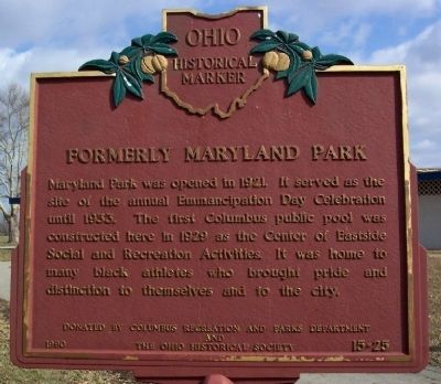
Formerly Maryland Park
Erected 1990 by Columbus Recreation and Parks Department and The Ohio Historical Society. (Marker Number 15-25.)
Topics and series. This historical marker is listed in these topic lists: African Americans • Parks & Recreational Areas • Sports. In addition, it is included in the Ohio Historical Society / The Ohio History Connection series list. A significant historical year for this entry is 1921.
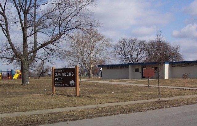
Location. 39° 58.519′ N, 82° 57.978′ W. Marker is in Columbus, Ohio, in Franklin County. It is in Mount Vernon. Marker is at the intersection of Atcheson Street and Winner Avenue, on the left when traveling east on Atcheson Street. Marker is at Saunders Park. Touch for map. Marker is at or near this postal address: 1380 Atcheson Street, Columbus OH 43203, United States of America. Touch for directions.
Other nearby markers. At least 8 other markers are within walking distance of this marker. Mount Vernon Community School (approx. 0.3 miles away); Mount Vernon Avenue (approx. 0.4 miles away); Martin Luther King Jr. Library / Architect Leon Ransom Jr. (1921 - 1971) (approx. half a mile away); White Oak (approx. 0.7 miles away); Second Baptist Church / James P. Poindexter (approx. 0.7 miles away); War! – “It Is All Hell” (approx. 0.8 miles away); St. Clair Hospital (approx. 0.8 miles away); Asians in the American Civil War (approx. 0.8 miles away). Touch for a list and map of all markers in Columbus.
Credits. This page was last revised on February 3, 2023. It was originally submitted on March 30, 2009, by William Fischer, Jr. of Scranton, Pennsylvania. This page has been viewed 1,159 times since then and 30 times this year. Photos: 1, 2. submitted on March 30, 2009, by William Fischer, Jr. of Scranton, Pennsylvania. • Christopher Busta-Peck was the editor who published this page.

