Covington in Kenton County, Kentucky — The American South (East South Central)
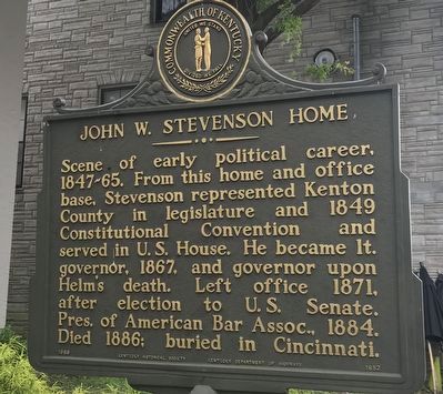
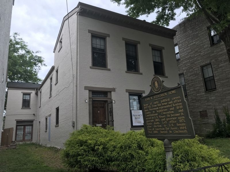
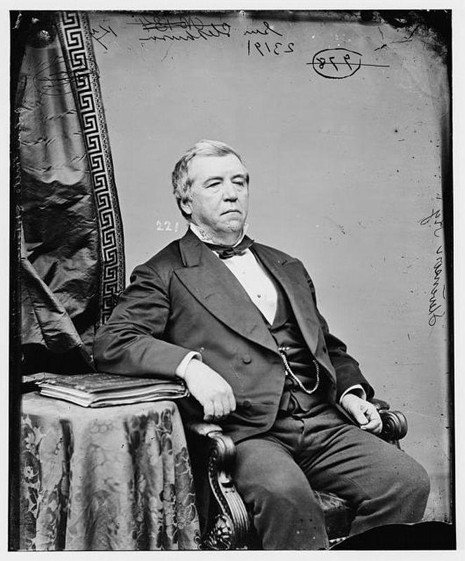
John W. Stevenson Home
Erected 1989 by Kentucky Historical Society and Kentucky Department of Highways. (Marker Number 1852.)
Topics and series. This historical marker is listed in this topic list: Government & Politics. In addition, it is included in the Kentucky Historical Society series list. A significant historical year for this entry is 1847.
Location. 39° 5.301′ N, 84° 30.477′ W. Marker is in Covington, Kentucky, in Kenton County. Marker is on Greenup Street (Kentucky Route 17) north of Sanford Alley, on the right when traveling north. Touch for map. Marker is at or near this postal address: 314 Greenup Street, Covington KY 41011, United States of America. Touch for directions.
Other nearby markers. At least 8 other markers are within walking distance of this marker. First City Hall (within shouting distance of this marker); Mary Florence Taney (about 500 feet away, measured in a direct line); Senator Richard P. Ernst / Ernst Mansion (about 500 feet away); Covington Blue Sox (about 600 feet away); Daniel Carter Beard (about 700 feet away); a different marker also named Daniel Carter Beard (about 700 feet away); First United Methodist Church (about 800 feet away); John A. Roebling Bridge (approx. 0.2 miles away). Touch for a list and map of all markers in Covington.
Also see . . . John W. Stevenson (Wikipedia). (Submitted on June 5, 2021, by Duane and Tracy Marsteller of Murfreesboro, Tennessee.)
Credits. This page was last revised on June 5, 2021. It was originally submitted on June 5, 2021, by Duane and Tracy Marsteller of Murfreesboro, Tennessee. This page has been viewed 413 times since then and 45 times this year. Photos: 1, 2, 3. submitted on June 5, 2021, by Duane and Tracy Marsteller of Murfreesboro, Tennessee.


