
Morrice in Shiawassee County, Michigan — The American Midwest (Great Lakes)
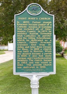
Saint Mary's Church
Photographed by J.T. Lambrou, June 4, 2021
1. Saint Mary's Church Marker
Erected 1992 by Bureau of History, Michigan Department of State. (Marker Number L1873.)
Topics and series. This historical marker is listed in these topic lists: Religion & Religious Structures • Settlements & Settlers. In addition, it is included in the Michigan Historical Commission series list. A significant historical year for this entry is 1874.
Location. 42° 50.453′ N, 84° 10.695′ W. Marker is in Morrice, Michigan, in Shiawassee County. It is at the intersection of Main Street and West Mason, on the right when traveling south on Main Street. Touch for map. Marker is at or near
this page online

Regionally, this marker is in Mid-Michigan and in Greater Lansing. It is also in the American Midwest. Globally, it is in North America, the Western Hemisphere, the Western World, and the Anglosphere. Historically, it finds itself in what was once the Northwest Territory.
Other nearby markers. At least 8 other markers are within 10 miles of this marker, measured as the crow flies: Site of the Bancroft School (approx. 6.2 miles away); Bancroft Veterans Memorial (approx. 6.3 miles away); Woodhull Township Hall / Shaftsburg School (approx. 6.6 miles away); Reference Mark for Michigan Center of Population (approx. 6.8 miles away); Maple River (approx. 6.9 miles away); a different marker also named Knaggs Bridge Area (approx. 7.6 miles away); Williamston Center United Methodist Church (approx. 9.8 miles away); Governor Parsons (approx. 9.9 miles away).
Another marker is no longer nearby. Knaggs Bridge Area (was approx. 7.6 miles away but has been replaced with another marker now near it).
Photographed by J.T. Lambrou, June 4, 2021
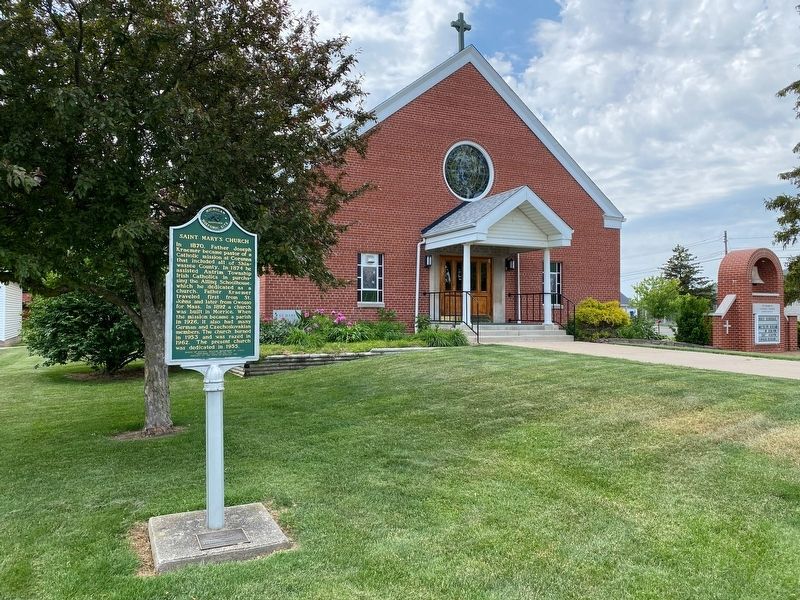
2. Saint Mary's Church Marker
Photographed by J.T. Lambrou, June 4, 2021
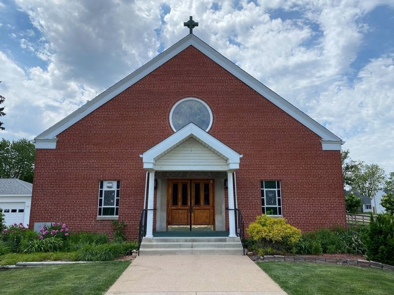
3. Saint Mary's Church
Photographed by J.T. Lambrou, June 4, 2021
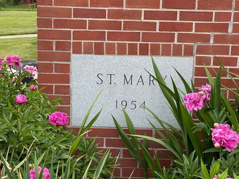
4. Saint Mary's Church
Cornerstone
Credits. This page was last revised on June 6, 2021. It was originally submitted on June 6, 2021, by J.T. Lambrou of New Boston, Michigan. This page has been viewed 261 times since then and 28 times this year. Photos: 1, 2, 3, 4. submitted on June 6, 2021, by J.T. Lambrou of New Boston, Michigan. • Mark Hilton was the editor who published this page.
