Near Fredericktown in Knox County, Ohio — The American Midwest (Great Lakes)
Greenville Treaty Line
Originated 1797
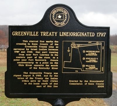
Photographed by Christopher Busta-Peck, March 29, 2009
1. Greenville Treaty Line Marker
This starred line marks the crossing in Knox County of the Greenville Treaty Line as surveyed by Israel Ludlow between 1797 and 1799; that part running from near Fort Laurens in the eastern part of the state, to a point near Fort Recovery, thence southwesterly to a point on the Ohio River opposite the mouth of the Kentucky River.
The Greenville Treaty was signed August 3, 1795, and by the terms of the Treaty the Indian tribes gave up their claims to the lands to the south and east of this line.
Erected 2008 by Bicentennial Commission of Knox County.
Topics. This historical marker is listed in this topic list: Settlements & Settlers. A significant historical year for this entry is 1797.
Location. 40° 31.964′ N, 82° 32.642′ W. Marker is near Fredericktown, Ohio, in Knox County. It is on Yankee Street east of Ohio Route 13, on the left when traveling east. Touch for map. Marker is in this post office area: Fredericktown OH 43019, United States of America. Touch for directions.

Regionally, this marker is in Amish Country. It is also in the American Midwest and in the Corn Belt. Globally, it is in North America,
this page online
Other nearby markers. At least 8 other markers are within 8 miles of this marker, measured as the crow flies: A different marker also named Greenville Treaty Line (approx. 2.8 miles away); Neil Theatre (approx. 3½ miles away); Tuttle-Snyder House (approx. 3½ miles away); Webb C. Ball Street Clock (approx. 3.6 miles away); Home of the FFA Jacket (approx. 4 miles away); Snowden Family Band (approx. 6.4 miles away); Chesterville Veterans Memorial (approx. 8 miles away); Old Union School (approx. 8.1 miles away). Touch for a list and map of all markers in Fredericktown.
Related markers. Click here for a list of markers that are related to this marker.
Also see . . . Treaty of Greenville. Wikipedia entry (Submitted on August 22, 2022, by Larry Gertner of New York, New York.)
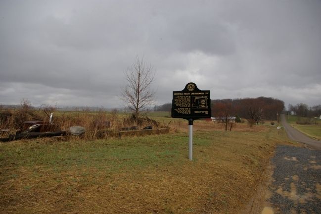
Photographed by Christopher Busta-Peck, March 29, 2009
2. Greenville Treaty Line Marker and the land to the east of it
Credits. This page was last revised on August 22, 2022. It was originally submitted on March 30, 2009, by Christopher Busta-Peck of Shaker Heights, Ohio. This page has been viewed 3,598 times since then and 145 times this year. Photos: 1, 2. submitted on March 30, 2009, by Christopher Busta-Peck of Shaker Heights, Ohio.
