Auburn in Fauquier County, Virginia — The American South (Mid-Atlantic)
Second Battle of Auburn
Stuart and Coffee Hill
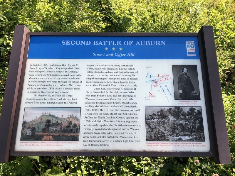
In October 1863, Confederate Gen. Robert E. Lee's Army of Northern Virginia pushed Union Gen. George G. Meade's Army of the Potomac back toward the fortifications around Centreville. Meade’s army marched along several roads, one of which brought two corps through the village of Auburn. Lee's infantry marched near Warrenton while he sent Gen. J.E.B. Stuart's cavalry ahead to search for the Federal wagon train.
On October 13, as Union III Corps elements passed here, Stuart led his men back toward Lee's army, having located the Federal wagon train. After skirmishing with the III Corps, Stuart was alarmed to find his path to safety blocked at Auburn and decided to conceal his men in a nearby ravine until morning. He slipped messengers through the lines to describe his predicament to Lee, who ordered infantry under Gen. Richard S. Ewell to Auburn to help.
Union Gen. Gouverneur K. Warren's II Corps bivouacked for the night across Cedar Run and boiled coffee for breakfast near Stuart, Stuart's horse artillery shelled them on their hill (henceforth called Coffee Hill) to cover the breakout as Ewell struck from the west. Stuart sent Col. Thomas Ruffin's 1st North Carolina Cavalry against the 125th and 126th New York Infantry regiments, which easily repulsed the Confederate assault and mortally wounded and captured Ruffin. Warren, attacked from both sides, hastened his march away as Stuart also withdrew. Warren and his men found themselves in another fight later that day at Bristoe Station.
Erected by Virginia Civil War Trails.
Topics and series. This historical marker is listed in this topic list: War, US Civil. In addition, it is included in the Virginia Civil War Trails series list. A significant historical month for this entry is October 1863.
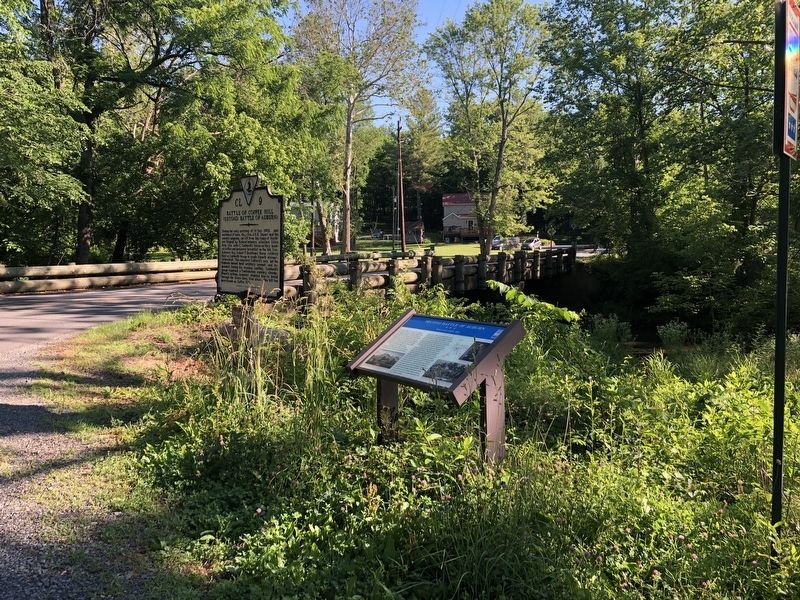
Location. 38° 42.127′ N, 77° 42.107′ W. Marker is in Auburn, Virginia, in Fauquier County. Marker is at the intersection of Rogues Road (County Road 602) and Old Auburn Road (County Road 670), on the right when traveling north on Rogues Road. Touch for map. Marker is at or near this postal address: 4537 Old Auburn Rd, Warrenton VA 20187, United States of America. Touch for directions.
Other nearby markers. At least 8 other markers are within 5 miles of this marker, measured as the crow flies. Battle of Coffee Hill (a few steps from this marker); Neavil’s Mill (about 400 feet away, measured in a direct line); Neavil's Ordinary (approx. half a mile away); Stuart's Bivouac (approx. 1.3 miles away); St. Stephen's Episcopal Church (approx. 2.4 miles away); Grapewood Farm Engagement (approx. 2½ miles away); Vint Hill Farms Station (approx. 3.1 miles away); McClellan’s Farewell (approx. 4.3 miles away). Touch for a list and map of all markers in Auburn.
Credits. This page was last revised on October 2, 2023. It was originally submitted on June 13, 2020, by Devry Becker Jones of Washington, District of Columbia. This page has been viewed 646 times since then and 46 times this year. Last updated on September 29, 2023, by Teo Alvarado of Boquete, Panama. Photos: 1, 2. submitted on June 13, 2020, by Devry Becker Jones of Washington, District of Columbia. • Bernard Fisher was the editor who published this page.

