Kennett in Dunklin County, Missouri — The American Midwest (Upper Plains)
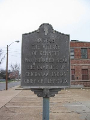
The Village of Kennett
the village
of Kennett
was founded near
the campsite of
Chickasaw Indian
Chief Chilletecaux
Topics. This historical marker is listed in these topic lists: Native Americans • Settlements & Settlers. A significant historical year for this entry is 1843.
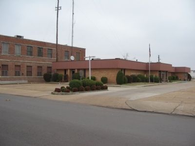
Location. 36° 14.28′ N, 90° 3.332′ W. Marker is in Kennett, Missouri, in Dunklin County. Marker is at the intersection of College Street and Cedar Street, on the right when traveling north on College Street. Located in front of the town municipal building. Touch for map. Marker is in this post office area: Kennett MO 63857, United States of America. Touch for directions.
Other nearby markers. At least 2 other markers are within 14 miles of this marker, measured as the crow flies. Kennett (about 300 feet away, measured in a direct line); Hornersville (approx. 14.1 miles away).
Regarding The Village of Kennett. This marker contradicts the nearby "Kennett" marker with regard to the tribe Chief Chilletecaux belonged.
Credits. This page was last revised on June 16, 2016. It was originally submitted on March 30, 2009, by Craig Swain of Leesburg, Virginia. This page has been viewed 1,540 times since then and 46 times this year. Photos: 1, 2. submitted on March 30, 2009, by Craig Swain of Leesburg, Virginia.

