Central Oklahoma City in Oklahoma County, Oklahoma — The American South (West South Central)
Altus Air Force Base
The Red River Journey

Photographed by Jason Voigt, April 9, 2021
1. Altus Air Force Base Marker
In 1996 the Air Force added training for the C-17 Globemaster III. At this time, the base is considered to be the nation's premier air mobility training location.
Topics. This historical marker is listed in these topic lists: Air & Space • War, World II. A significant historical month for this entry is January 1943.
Location. 35° 29.619′ N, 97° 29.949′ W. Marker is in Oklahoma City, Oklahoma, in Oklahoma County. It is in Central Oklahoma City. It can be reached from the intersection of Nazih Zuhdi Drive and North Phillips Avenue. Marker is part of the Red River Journey pathway, which is on the grounds of the Oklahoma History Center. Touch for map. Marker is at or near this postal address:
this page online

Regionally, this marker is in Central Oklahoma—Frontier Country. It is also in the American South, specifically on the prairies, and on the Southern Plains. Globally, it is in North America, the Western Hemisphere, the Western World, and the Anglosphere. Historically, it finds itself in what was once the territory of the Mississippian Culture and also the Louisiana Purchase.
Other nearby markers. At least 8 other markers are within walking distance of this marker: Devil's Canyon (here, next to this marker); 1834 Dragoon Expedition (here, next to this marker); W.C. Austin Project (a few steps from this marker); North Fork of the Red River (a few steps from this marker); Oklahoma's Gold Rush (a few steps from this marker); First Shelterbelt (a few steps from this marker); Marcy's Survey of the Red River (a few steps from this marker); Babbs Switch School Fire (a few steps from this marker). Touch for a list and map of all markers in Oklahoma City.
Also see . . .
1. Altus Air Force Base on Wikipedia. (Submitted on June 7, 2021, by Jason Voigt of Glen Carbon, Illinois.)
2. Altus Air Force Base.
Photographed by Jason Voigt, April 9, 2021
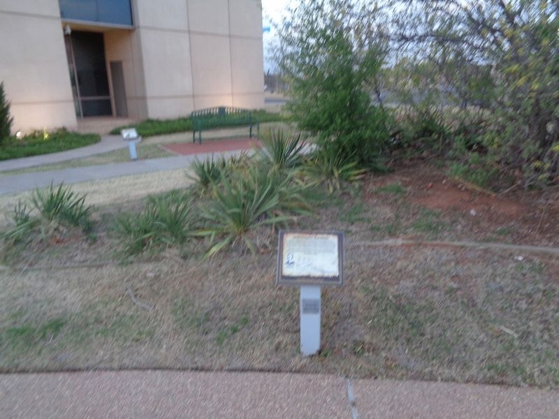
2. Altus Air Force Base Marker
Marker is in the back, next to the bench.
Credits. This page was last revised on February 16, 2023. It was originally submitted on June 7, 2021, by Jason Voigt of Glen Carbon, Illinois. This page has been viewed 336 times since then and 31 times this year. Photos: 1, 2. submitted on June 7, 2021, by Jason Voigt of Glen Carbon, Illinois.
