Newport in Campbell County, Kentucky — The American South (East South Central)
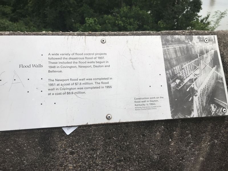
Flood Walls
A wide variety of flood control projects followed the disastrous flood of 1937. These included the flood walls begun in 1948 in Covington, Newport, Dayton and Bellevue.
The Newport flood wall was completed in 1951 at a cost of $7.8 million. The flood wall in Covington was completed in 1955 at a cost of $8.9 million.
Caption: Construction work on the flood wall in Dayton, Kentucky (c.1954). Kentucky Post photo courtesy of the Kenton County Public Library
Topics. This historical marker is listed in this topic list: Charity & Public Work. A significant historical year for this entry is 1937.
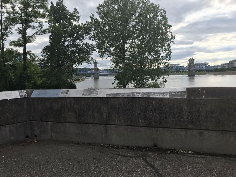
Location. 39° 5.543′ N, 84° 30.149′ W. Marker is in Newport, Kentucky, in Campbell County. Marker can be reached from Riverboat Row, on the right when traveling south. Marker is on the retaining wall surrounding the Taylor Park overlook. Touch for map. Marker is at or near this postal address: 100 Riverboat Row, Newport KY 41071, United States of America. Touch for directions.
Other nearby markers. At least 8 other markers are within walking distance of this marker. The Civil War in Northern Kentucky (here, next to this marker); Defending the Valley (here, next to this marker); Cincinnati Skyline Pre-1865 (here, next to this marker); Fort Thomas (here, next to this marker); A New Perspective: 1865-1900 (here, next to this marker); Skyscrapers and a Stadium: 1900-1972 (here, next to this marker); Floods and Flood Walls (a few steps from this marker); Newport Barracks (a few steps from this marker). Touch for a list and map of all markers in Newport.
Credits. This page was last revised on July 15, 2021. It was originally submitted on June 7, 2021, by Duane and Tracy Marsteller of Murfreesboro, Tennessee. This page has been viewed 246 times since then and 53 times this year. Photos: 1. submitted on June 7, 2021, by Duane and Tracy Marsteller of Murfreesboro, Tennessee. 2. submitted on June 11, 2021, by Duane and Tracy Marsteller of Murfreesboro, Tennessee.

