Hayward in Alameda County, California — The American West (Pacific Coastal)
Working in the Salt Ponds
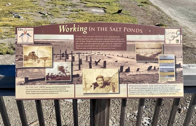
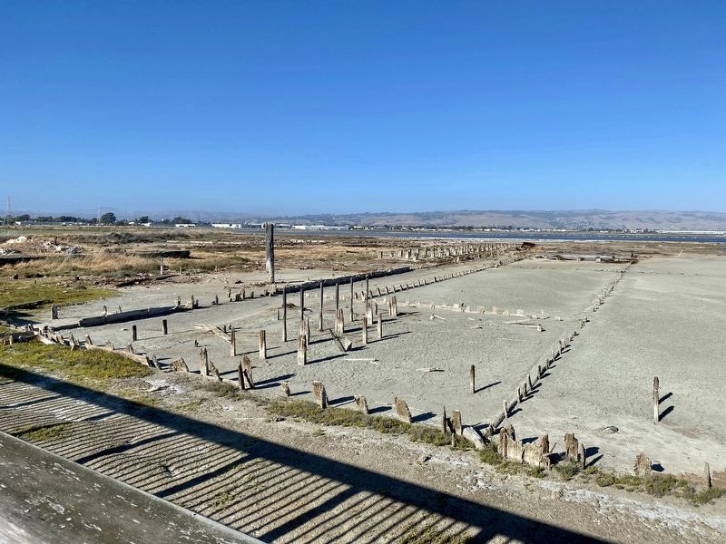
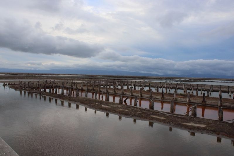
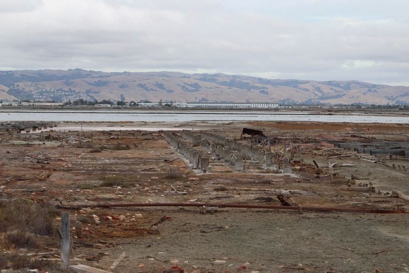
WHEN THE PONDS AROUND YOU were first built, producing salt by solar evaporation required intense labor and a lot of time. Workers had to move seawater from San Francisco Bay (only 2.5% salt content) through a series of evaporation ponds to concentrate the salt to the point of crystallization. This sea water to salt process took almost five years.
IN THE LATE 1800s laborers used shovels,wheelbarrows, and carts to move the crystalized salt out of the evaporation ponds. In later years mechanized equipment and narrow-gauge railways helped speed up the harvesting process.
Would you work for less than $1.35 a day?
In 1901 Japanese immigrants made up most of the Oliver Salt Company's
harvest time employees. Segregated treatment, harsh working conditions and the
Company's reluctance to raise wages to $1.35 a day (around $3 an hour today)
led many of these workers to find higher paid employment in agriculture.
Topics. This historical marker is listed in these topic lists: Asian Americans • Industry & Commerce.
Location. 37° 36.827′ N, 122° 7.788′ W. Marker is in Hayward, California, in Alameda County. Marker can be reached from Eden Landing Road. Touch for map. Marker is in this post office area: Hayward CA 94545, United States of America. Touch for directions.
Other nearby markers. At least 8 other markers
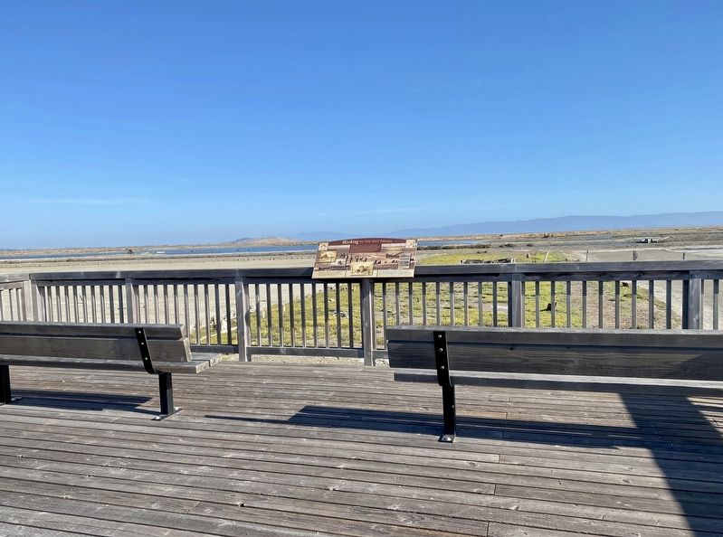
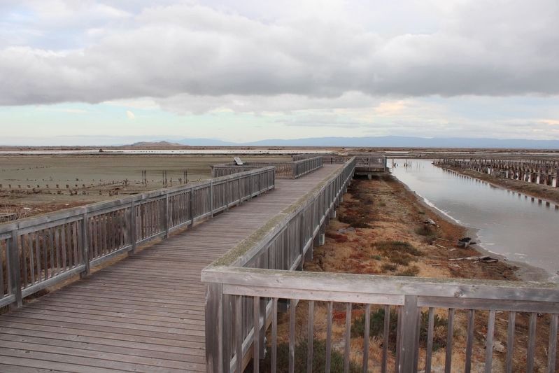
More about this marker. The marker is located at the far end of the observation platform at the former salt works in the Eden Landing Ecological Reserve. Distance to the marker from the trailhead parking lot to the marker is about 3/4ths of a mile along a smooth level path.
Also see . . . California Department of Fish & Game: Area History.
"The area was formerly owned and managed by Cargill Salt Co. as solar salt production facilities. In 1996, 835 acres were acquired from Cargill and an additional 5,500 acres in 2003. In 1998, the area was designated as an ecological reserve by the Fish and Game Commission."(Submitted on October 1, 2022, by Joseph Alvarado of Livermore, California.)
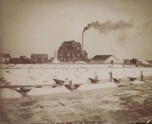
via The Oliver Salt Company, unknown
2. Labor in the Marshes
The Oliver Salt Company blog entry
Click for more information.
Click for more information.
Credits. This page was last revised on October 6, 2022. It was originally submitted on June 7, 2021, by Andrew Ruppenstein of Lamorinda, California. This page has been viewed 253 times since then and 16 times this year. Photos: 1. submitted on June 7, 2021, by Andrew Ruppenstein of Lamorinda, California. 2. submitted on June 8, 2021, by Larry Gertner of New York, New York. 3. submitted on June 7, 2021, by Andrew Ruppenstein of Lamorinda, California. 4. submitted on October 1, 2022, by Joseph Alvarado of Livermore, California. 5. submitted on June 7, 2021, by Andrew Ruppenstein of Lamorinda, California. 6, 7. submitted on October 1, 2022, by Joseph Alvarado of Livermore, California.
