Newport in Campbell County, Kentucky — The American South (East South Central)
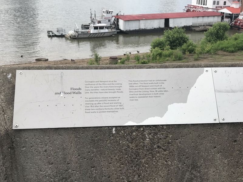
Floods and Flood Walls
Covington and Newport sit at the confluence of the Ohio and the Licking. Over the years the rivers have brought many benefits — natural beauty, trade, jobs. But they also have brought floods.
For generations citizens have accepted as inevitable the periodic necessity of cleaning up after a flood and starting over. But after the record flood of 1937, these two northern Kentucky cities built flood walls to protect themselves.
This flood protection had an unfortunate side effect. The flood walls built in the 1950s cut off Newport and much of Covington from direct contact with the Ohio and the Licking. Now, 30 years later, riverfront development in both cities seeks to reestablish their historic river ties.
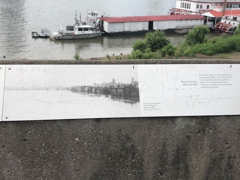
Caption: Covington and Newport under flood waters (February, 1884) Photo courtesy of The Public Library of Cincinnati and Hamilton County
Record Floods: 1883 and 1884
In February 1883 the Ohio crested at an unprecedented 66' 4". One year later the river rose still higher to an amazing level of 71'. Photographers and illustrators rushed to document these extraordinary events.
[Captions]:
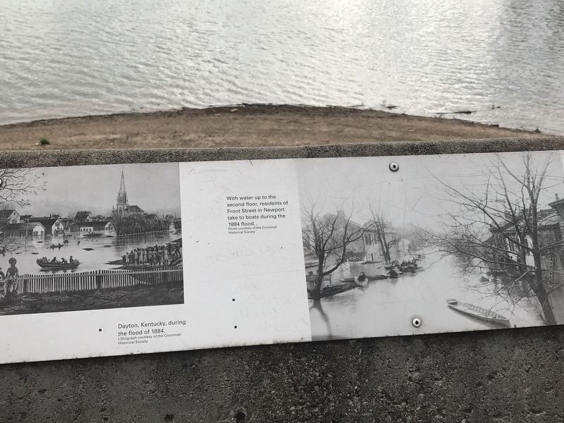
• Dayton, Kentucky, during the flood of 1884. Lithograph courtesy of the Cincinnati Historical Society
• With water up to the second floor, residents of Front Street in Newport take to boats during the 1884 flood. Photo courtesy of the Cincinnati Historical Society
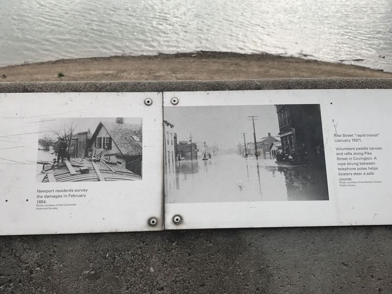
• Newport residents survey the damages in February 1884. Photo courtesy of the Cincinnati Historical Society
• Pike Street "rapid transit" (January 1937). Volunteers paddle canoes and rafts along Pike Street in Covington. A rope strung between telephone poles helps boasters steer a safe course. Photo courtesy of the Kenton County Public Library.
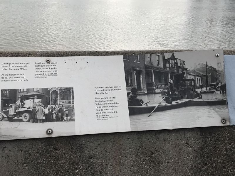
• Covington residents get water from a concrete mixer (January 1937). At the height of the flood, city water and electricity were cut off. Anything that could distribute clean well water, including this concrete mixer, was pressed into service. Photo courtesy of the Cincinnati Historical Society
• Volunteers deliver coal to stranded Newport homes (January 1937). Most people in 1937 heated with coal. Volunteers braved the flood water to deliver coal to Newport residents trapped in their homes. Photo courtesy of the Cincinnati Historical Society
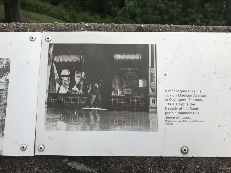
• A mannequin tries his luck on Madison Avenue in Covington (February 1937). Despite the tragedy of the flood, people maintained a sense of humor. Photo courtesy of the Cincinnati Historical Society
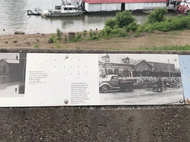
• (photo clipped) Mary Schmeing of Covington is rescued by volunteers in a makeshift boat in the 600 block of Watkins Street (January 1937) Photo courtesy of the Kenton County Public Library.
•The tireless efforts of sandbagging crews kept the Suspension Bridge open during the 1937 flood. The makeshift entrance ramp rose to 10 feet, and no one could cross without a special pass from the Emergency Relief Committee. Photo courtesy of the Cincinnati Historical Society
Topics. This historical marker is listed in these topic lists: Charity & Public Work • Disasters • Waterways & Vessels.
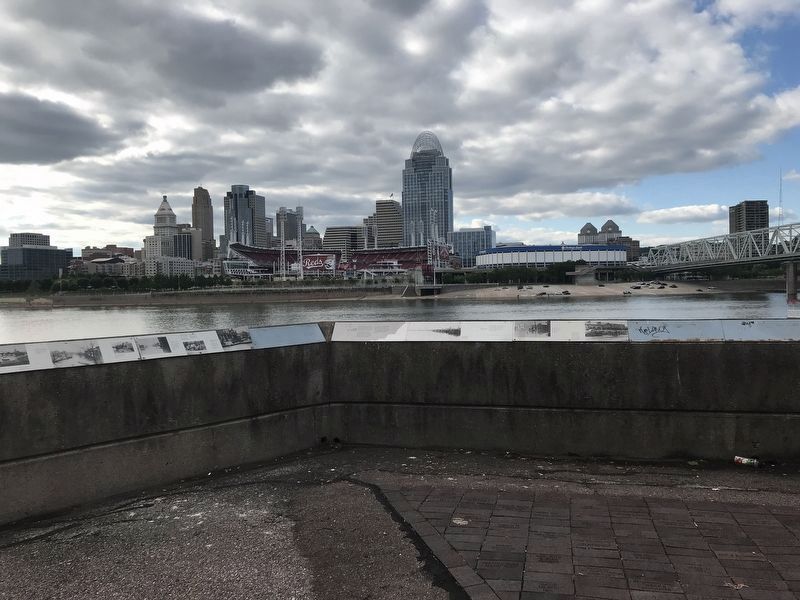
Location. 39° 5.55′ N, 84° 30.151′ W. Marker is in Newport, Kentucky, in Campbell County. Marker can be reached from Riverboat Row, on the right when traveling south. Marker is on the retaining wall surrounding the Taylor Park Overlook. Touch for map. Marker is at or near this postal address: 100 Riverboat Row, Newport KY 41071, United States of America. Touch for directions.
Other nearby markers. At least 8 other markers are within walking distance of this marker. Skyscrapers and a Stadium: 1900-1972 (here, next to this marker); A New Perspective: 1865-1900 (a few steps from this marker); Cincinnati Skyline Pre-1865 (a few steps from this marker); The Civil War in Northern Kentucky (a few steps from this marker); Flood Walls (a few steps from this marker); Fort Thomas (a few steps from this marker); Defending the Valley (a few steps from this marker); Newport Barracks (within shouting distance of this marker). Touch for a list and map of all markers in Newport.
Credits. This page was last revised on July 15, 2021. It was originally submitted on June 7, 2021, by Duane and Tracy Marsteller of Murfreesboro, Tennessee. This page has been viewed 265 times since then and 41 times this year. Photos: 1, 2, 3, 4, 5, 6. submitted on June 7, 2021, by Duane and Tracy Marsteller of Murfreesboro, Tennessee. 7, 8. submitted on June 11, 2021, by Duane and Tracy Marsteller of Murfreesboro, Tennessee.
