Stephenville in Erath County, Texas — The American South (West South Central)
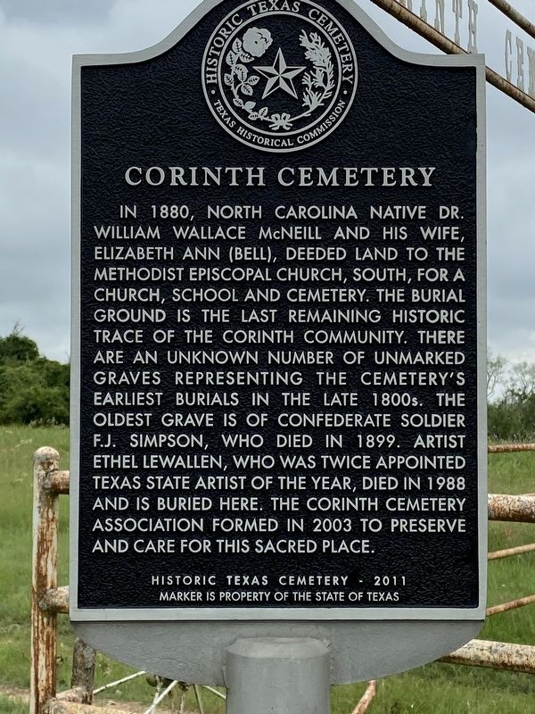
Corinth Cemetery
In 1880, North Carolina native Dr. William Wallace McNeill and his wife, Elizabeth Ann (Bell), deeded land to the Methodist Episcopal Church, South, for a church, school and cemetery. The burial ground is the last remaining historic trace of the Corinth community. There are an unknown number of unmarked graves representing the cemetery’s earliest burials in the late 1800s. The oldest grave is of Confederate Soldier F.J. Simpson, who died in 1899. Artist Ethel Lewallen, who was twice appointed Texas State Artist of the Year, died in 1988 and is buried here. The Corinth Cemetery Association formed in 2003 to preserve and care for this sacred place.
Historic Texas Cemetery - 2011
Erected 2011 by Texas Historical Commission. (Marker Number 17212.)
Topics. This historical marker is listed in these topic lists: Cemeteries & Burial Sites • Settlements & Settlers.
Location. 32° 13.641′ N, 98° 18.344′ W. Marker is in Stephenville, Texas, in Erath County. Marker is on County Road 389, ¾ mile south of County Highway 392, on the right when traveling south. Touch for map. Marker is in this post office area: Stephenville TX 76401, United States of America. Touch for directions.
Other nearby markers. At least 8 other markers are within 6 miles of this marker, measured as the crow flies. Lingleville (approx. 4.1 miles away); Lingleville Tabernacle (approx. 4.3 miles away); Kiker's Gin (approx. 4.4 miles away); Honoring Veterans (approx. 5.1 miles away); Upper Greens Creek Cemetery (approx. 5.1 miles away); John Tarleton (approx. 5.3 miles away); Oak Dale Cemetery (approx. 5.3 miles away); Brick Streets of Stephenville (approx. 5½ miles away). Touch for a list and map of all markers in Stephenville.
More about this marker. The marker is just inside the cemetery's fence at the gate.
Credits. This page was last revised on June 8, 2021. It was originally submitted on June 8, 2021. This page has been viewed 192 times since then and 26 times this year. Photo 1. submitted on June 8, 2021, by Terry Gibbs of Stephenville, Texas. • J. Makali Bruton was the editor who published this page.
Editor’s want-list for this marker. A wide view photo of the marker and the surrounding area together in context. • Can you help?
