Wayne in Indianapolis in Marion County, Indiana — The American Midwest (Great Lakes)
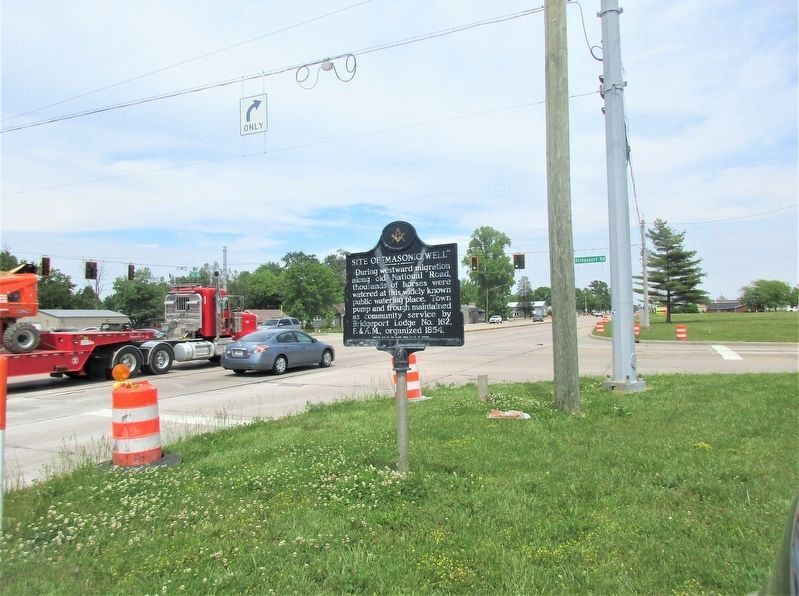
Site of "Masonic Well"
Erected 1973 by Grand Lodge F. & A. M. of Indiana.
Topics and series. This historical marker is listed in these topic lists: Animals • Charity & Public Work • Fraternal or Sororal Organizations • Roads & Vehicles. In addition, it is included in the The Historic National Road series list. A significant historical year for this entry is 1854.
Location. 39° 43.875′ N, 86° 19.184′ W. Marker is in Indianapolis, Indiana, in Marion County. It is in Wayne. Marker is at the intersection of West Washington Street (U.S. 40) and Bridgeport Road, on the left when traveling west on West Washington Street. Touch for map. Marker is at or near this postal address: 9012 W Washington St, Indianapolis IN 46231, United States of America. Touch for directions.
Other nearby markers. At least 8 other markers are within 6 miles of this marker, measured as the crow flies. Western Yearly Meeting House (approx. 4.7 miles away); Van Buren Elm (approx. 4.7 miles away); T.H.I. & E. Interurban Depot Building (approx. 4.8 miles away); Floyd "Pop" Dreyer (approx. 4.9 miles away); Eat (approx. 5 miles away); Adrian A. Parsons / Indiana's Soybean Pioneer (approx. 5.1 miles away); WWI Aviation Repair Depot (approx. 5˝ miles away); Allison Machine Shop (approx. 5˝ miles away).
Additional keywords. Old National Road
Credits. This page was last revised on November 17, 2023. It was originally submitted on June 8, 2021, by Rev. Ronald Irick of West Liberty, Ohio. This page has been viewed 287 times since then and 42 times this year. Photos: 1, 2. submitted on June 8, 2021, by Rev. Ronald Irick of West Liberty, Ohio. • Devry Becker Jones was the editor who published this page.

