Travel in the 1800s
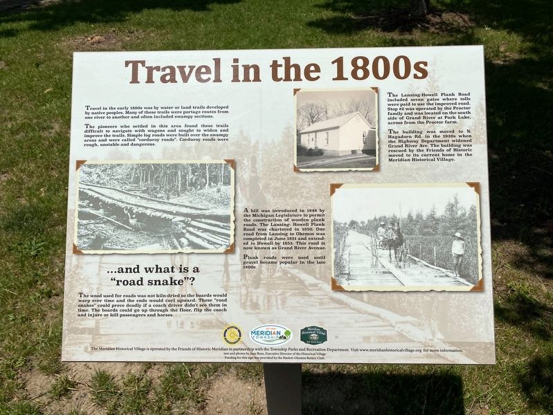
Travel in the early 1800s was by water or land trails developed by native peoples. Many of these trails were portage routes from one river to another and often included swampy sections.
The pioneers who settled in this area found these trails difficult to navigate with wagons and sought to widen and improve the trails. Simple log roads were built over the swampy areas and were called “corduroy roads”. Corduroy roads were rough, unstable and dangerous.
The wood used for roads was not kiln-dried so the boards would warp over time and the ends would curl upward. These “road snakes” could prove deadly if a coach driver didn’t see them in time. The boards could go up through the floor, flip the coach and injure or kill passengers and horses.
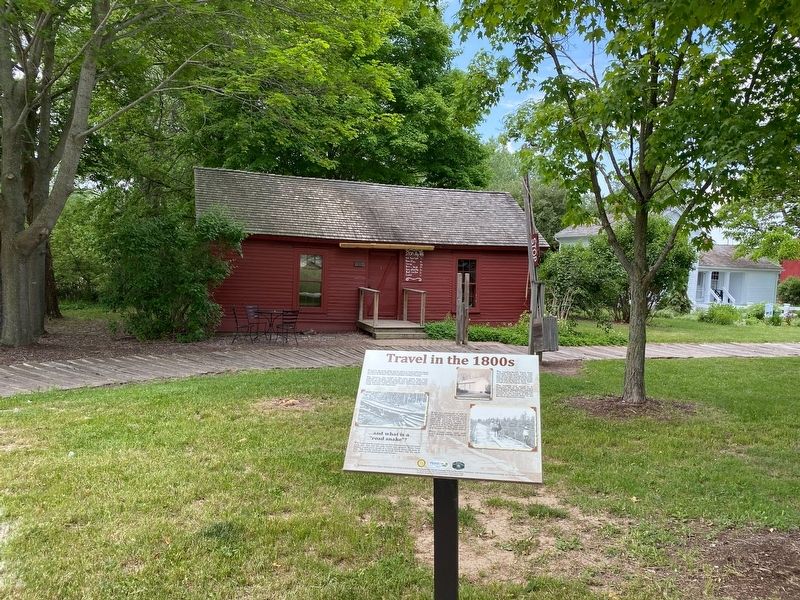
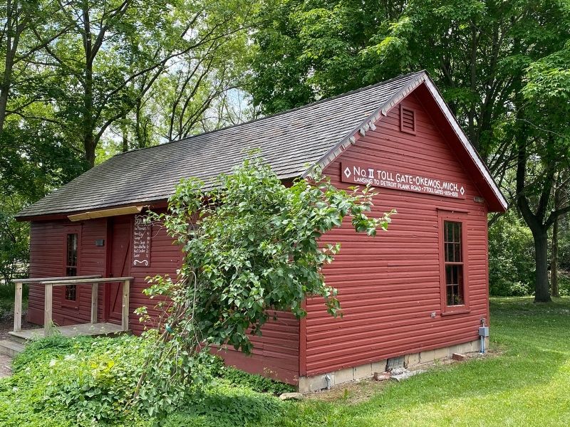
The Lansing-Howell Plank Road included seven gates where tolls were paid to use the improved road. Stop #2 was operated by the Proctor family and was located on the south side of Grand River at Park Lake, across from the Proctor farm.
The building was moved to N. Hagadorn Rd. in the 1920s when the Highway Department widened Grand River Ave. The building was rescued by the Friends of Historic moved to its current home in the Meridian Historical Village.
A bill was introduced
in 1848 by the Michigan Legislature to permit the construction of wooden plank roads. The Lansing-Howell Plank Road was chartered in 1850. One road from Lansing to Okemos was completed in June 1851 and extended to Howell by 1853. This road is now known as Grand River Avenue.
Plank roads were used until gravel became popular in the late 1800s.
Erected by Meridian Historical Village.
Topics. This historical marker is listed in these topic lists: Roads & Vehicles • Settlements & Settlers.
Location. 42° 43.757′ N, 84° 24.886′ W. Marker is in Okemos, Michigan, in Ingham County. Marker can be reached from Marsh Road, 0.3 miles north of Central Park Drive, on the left when traveling north. Marker is part of the Meridian Historical Village. Touch for map. Marker is at or near this postal address: 5151 Marsh Rd, Okemos MI 48864, United States of America. Touch for directions.
Other nearby markers. At least 8 other markers are within 2 miles of this marker, measured as the crow flies. Education and Faith (within shouting distance of this marker); The Farmstead (about 300 feet away, measured in a direct line); Star Windmill (about 300 feet away); Commerce (about 400 feet away); Pioneer Living (about 500 feet away); Okemos Methodist Church (approx. one mile away); Chief Okemos / Okemos Village
Credits. This page was last revised on June 11, 2021. It was originally submitted on June 9, 2021, by J.T. Lambrou of New Boston, Michigan. This page has been viewed 169 times since then and 18 times this year. Photos: 1, 2, 3, 4. submitted on June 9, 2021, by J.T. Lambrou of New Boston, Michigan. 5. submitted on June 10, 2021, by J.T. Lambrou of New Boston, Michigan. • Mark Hilton was the editor who published this page.


