Near Henderson in York County, Nebraska — The American Midwest (Upper Plains)
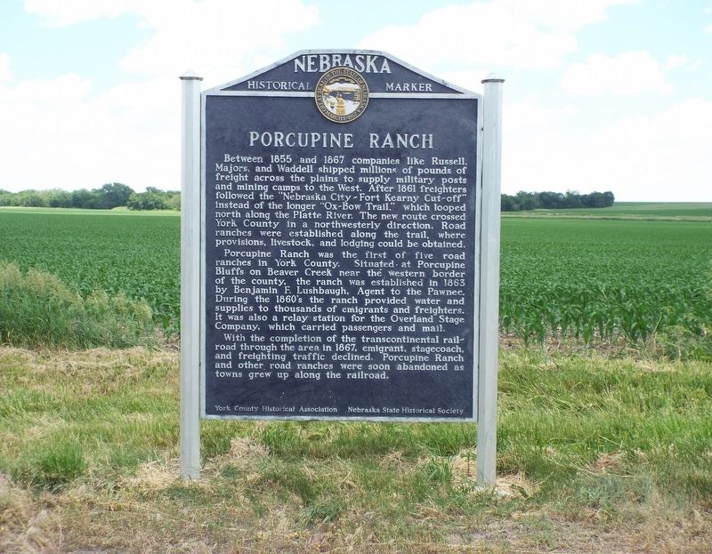
Porcupine Ranch
Between 1855 and 1867 companies like Russell, Majors, and Waddell shipped millions of pounds of freight across the plains to supply military posts and mining camps to the West. After 1861 freighters followed the "Nebraska City-Fort Kearney Cut-off" instead of the longer "Ox-Bow Trail," which looped north along the Platte River. The new route crossed York County in a northwesterly direction. Road ranches were established along the trail, where provisions, livestock, and lodging could be obtained.
Porcupine Ranch was he first of five road ranches in York County. Situated at Porcupine Bluffs on Beaver Creek near the western border of the county, the ranch was established in 1863 by Benjamin F. Lushbaugh, Agent to the Pawnee. During the 1860’s the ranch provided water and supplies to thousands of emigrants and freighters. It was also a relay station for the Overland Stage Company, which carried passengers and mail.
With the completion of the transcontinental railroad through the area in 1867, emigrant, stagecoach, and freighting traffic declined. Porcupine Ranch and other road ranches were soon abandoned as towns grew up along the railroad.
Erected by York County Historical Association and Nebraska State Historical Society. (Marker Number 279.)
Topics and series. This historical marker is listed in these topic lists: Agriculture • Industry & Commerce • Railroads & Streetcars. In addition, it is included in the Nebraska State Historical Society series list.
Location. 40° 50.684′ N, 97° 48.41′ W. Marker is near Henderson, Nebraska, in York County. Marker is at the intersection of State Highway 93A and Local Road 11, on the right when traveling north on State Highway 93A. Touch for map. Marker is at or near this postal address: 1019 Road B, Henderson NE 68371, United States of America. Touch for directions.
Other nearby markers. At least 8 other markers are within 11 miles of this marker, measured as the crow flies. Bradshaw (approx. 4.1 miles away); Nebraska City - Fort Kearny Cut-Off (approx. 8.8 miles away); Site of Camp Hamilton (approx. 10.2 miles away); Civil War Monument (approx. 10.4 miles away); Civil War Memorial (approx. 10.4 miles away); Veterans Memorial (approx. 10.4 miles away); The Hamilton County Courthouse (approx. 10.4 miles away); War Memorial (approx. 10.4 miles away).
Also see . . . Porcupine Ranch. (Submitted on June 9, 2021, by Susan Van Den Bosch of Genoa City, Wisconsin.)
Credits. This page was last revised on May 16, 2023. It was originally submitted on June 9, 2021, by Susan Van Den Bosch of Genoa City, Wisconsin. This page has been viewed 227 times since then and 67 times this year. Last updated on May 14, 2023, by Jeff Leichsenring of Garland, Texas. Photo 1. submitted on June 9, 2021, by Susan Van Den Bosch of Genoa City, Wisconsin. • J. Makali Bruton was the editor who published this page.
Editor’s want-list for this marker. A wide shot of the marker in context. • Can you help?
