Okemos in Ingham County, Michigan — The American Midwest (Great Lakes)
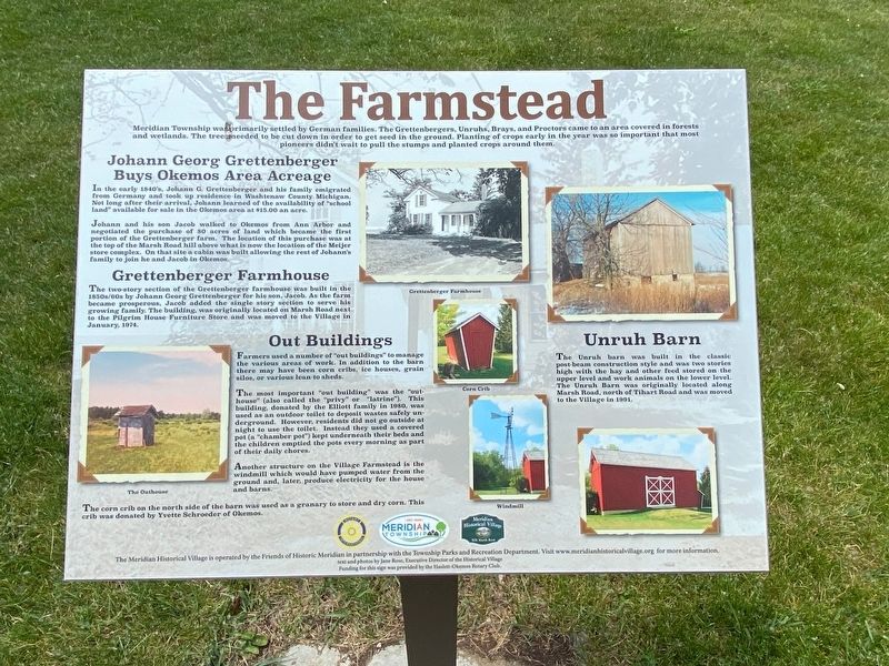
The Farmstead
Buys Okemos Area Acreage
In the early 1840’s Johann G. Grettenberger and his family emigrated from Germany and took up residence in Washtenaw County Michigan. Not long after their arrival, Johann learned of the availability of “school land” available for sale in the Okemos area at $15.00 an acre.
Johann and his son Jacob walked to Okemos from Ann Arbor and negotiated the purchase of 80 acres of land which became the first portion of the Grettenberger farm. The location of this purchase was at the top of the Marsh Road hill above what is now the location of the Meijer store complex. On that site a cabin was built allowing the rest of Johann’s family to join he and Jacob in Okemos.
The two-story section of the Grettenberger farmhouse was built in the 1850s/60s by Johann Georg Grettenberger for his son, Jacob. As the farm became prosperous, Jacob added the single story section to serve his growing family. The building, was originally located on Marsh Road next to the Pilgrim House Furniture Store and was moved to the Village in January, 1974.
Farmers used a number of “out buildings” to manage the various areas of work. In addition to the barn there may have been corn cribs, ice houses, grain silos, or various lean-to sheds.
The most important “out building” was the “out-house” (also called the “privy” or “latrine”). This building, donated by the Elliott family in 1980, was used as an outdoor toilet to deposit wastes safely underground. However, residents did not go outside at night to use the toilet. Instead they used a covered pot (a “chamber pot”) kept underneath their beds and the children emptied the pots every morning as part of their daily chores.
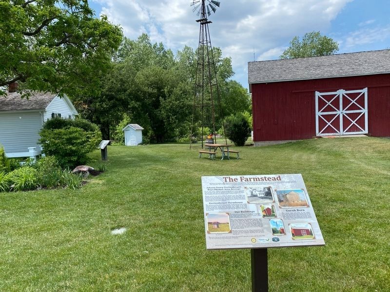
Another structure on the Village Farmstead is the windmill which would have pumped water from the ground and, later, produce electricity for the house and barns.
The corn crib on the north side of the barn was used as a granary to store and dry corn. This crib was donated by Yvette Schroeder of Okemos.
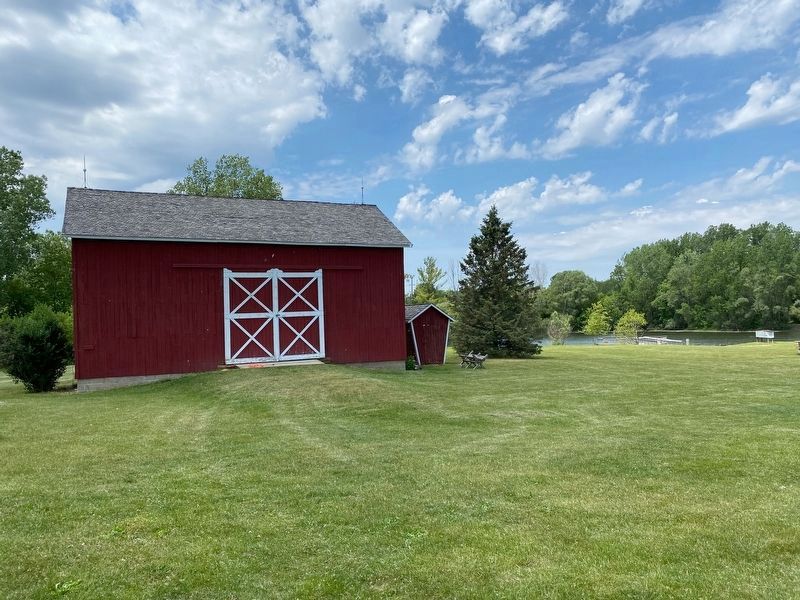
The Unruh barn was built in the classic post-beam construction style and was two stories high with the
hay and other feed stored on the upper level and work animals on the lower level. The Unruh Barn was originally located along Marsh Road, north of Tihard Road was was moved to the Village in 1991.
Erected by Meridian Historical Village.
Topics. This historical marker is listed in these topic lists: Agriculture • Settlements & Settlers.
Location. 42° 43.8′ N, 84° 24.923′ W. Marker is in Okemos, Michigan, in Ingham County. Marker can be reached from Marsh Road, 0.3 miles north of Central Park Drive, on the left when traveling north. Marker is part of the Meridian Historical Village. Touch for map. Marker is at or near this postal address: 5151 Marsh Rd, Okemos MI 48864, United States of America. Touch for directions.
Other nearby markers. At least 8 other markers are within 2 miles of this marker, measured as the crow flies. Star Windmill (a few steps from this marker); Education and Faith (within shouting distance of this marker); Commerce (within shouting distance of this marker); Pioneer Living (about 300 feet away, measured in a direct line); Travel in the 1800s (about 300 feet away); Okemos Methodist Church (approx. one mile away); Chief Okemos / Okemos Village (approx. 1.2 miles away); Haslett (approx. 1.4 miles away). Touch for a list and map of all markers in Okemos.
Credits. This page was last revised on June 9, 2021. It was originally submitted on June 9, 2021, by J.T. Lambrou of New Boston, Michigan. This page has been viewed 243 times since then and 28 times this year. Photos: 1, 2, 3, 4. submitted on June 9, 2021, by J.T. Lambrou of New Boston, Michigan. • Mark Hilton was the editor who published this page.


