Fort Thomas in Campbell County, Kentucky — The American South (East South Central)
Highland United Methodist Church
Inscription.
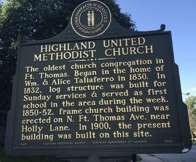
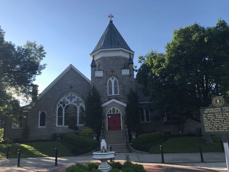
The oldest church congregation in Ft. Thomas. Began in the home of Wm. & Alice Taliaferro in 1830. In 1832, log structure was built for Sunday services & served as first school in the area during the week. 1850-52, frame church building was erected on N. Ft. Thomas Ave. near Holly Lane. In 1900, the present building was built on this site.
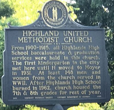
From 1900-1913. all Highlands High School baccalaureate & graduation services were held in this church. The first kindergarten in the city met here until it moved to Moyer in 1931. At least 148 men and women from the church served in WWII. After Highlands High School burned in 1962, church housed the 7th & 8th grades for rest of year.
Erected 2010 by Kentucky Historical Society and Kentucky Department of Highways. (Marker Number 2323.)
Topics and series. This historical marker is listed in these topic lists: Churches & Religion • Education. In addition, it is included in the Kentucky Historical Society series list. A significant historical year for this entry is 1830.
Location. 39° 4.979′ N, 84° 27.056′ W. Marker is in Fort Thomas, Kentucky, in Campbell County. Marker is at the intersection of Memorial Parkway (Kentucky Route 1120) and North Fort Thomas Avenue, on the right when traveling south on Memorial Parkway. Touch for map. Marker is at or near this postal address: 314 North Fort Thomas Avenue, Fort Thomas KY 41075, United States of America. Touch for directions.
Other nearby markers. At least 8 other markers are within 2 miles of this marker, measured as the crow flies. Ft. Thomas Army Post / Rock of Chickamauga (approx. 1.1 miles away); Fort Thomas Spanish-American War Memorial (approx. 1.1 miles away); Congressmen Buried in Evergreen (approx. 1.3 miles away); William H. Horsfall (approx. 1.3 miles away); Beverly Hills Supper Club Fire (approx. 1.4 miles away); Hon. Henry Stanbery (approx. 1.4 miles away); Samuel Woodfill (approx. 1.6 miles away); Brent Spence (1874-1967) (approx. 1.8 miles away). Touch for a list and map of all markers in Fort Thomas.
Also see . . . Highland United Methodist Church. By Katie Crawford-Lackey for the Kentucky Historical Society's ExploreKYHistory series. (Submitted on June 11, 2021, by Duane and Tracy Marsteller of Murfreesboro, Tennessee.)
Credits. This page was last revised on June 11, 2021. It was originally submitted on June 11, 2021, by Duane and Tracy Marsteller of Murfreesboro, Tennessee. This page has been viewed 154 times since then and 28 times this year. Photos: 1, 2, 3. submitted on June 11, 2021, by Duane and Tracy Marsteller of Murfreesboro, Tennessee.


