East Cocalico Township near Stevens in Lancaster County, Pennsylvania — The American Northeast (Mid-Atlantic)
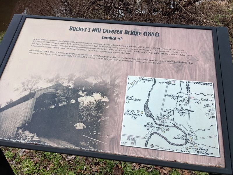
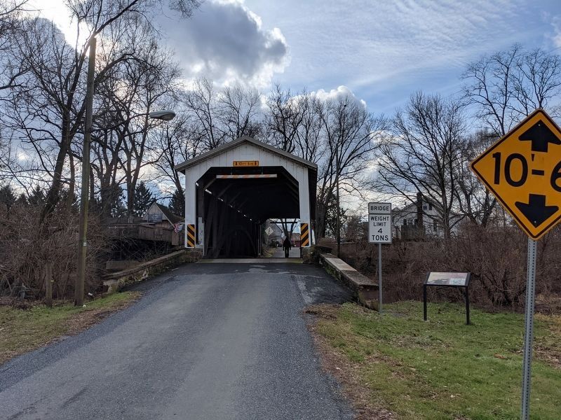
Bucher's Mill Covered Bridge (1881)
Cocalico #2
In 1880 residents petitioned for a bridge on the road leading from Reamstown Station to Reamstown near Bucher's Mill. Lancaster County Commissioners met on September 19, 1881 and approved this bridge which Elias McMellen built for $1,167.00. Heavy storms on the evening of August 23, 1891 caused the Cocalico Creek to rise higher here than it had in the past 50 years which severely damaged this bridge. At the neighboring mill, rainwater rose so high in the barn the horses' heads had to be held up on the hayracks so they would not drown. McMellen rebuilt this bridge the same year for $1,025.00.
Monroe Bucher (1820-1901) purchased the neighboring two story stone mill property in 1864. He was born on his father's mill known as "Buch's Mill" where he learned to run his own mill. Bucher's Mill remained in the family until his son sold it in 1912 but the family name remained tied to this covered bridge.
Topics and series. This historical marker is listed in this topic list: Bridges & Viaducts. In addition, it is included in the Covered Bridges series list. A significant historical date for this entry is August 23, 1891.
Location. 40° 12.491′ N, 76° 8.072′ W. Marker is near Stevens, Pennsylvania, in Lancaster County. It is in East Cocalico Township. Marker is on Cocalico Creek Road (Local Road T746) just
Other nearby markers. At least 8 other markers are within walking distance of this marker. Reamstown (approx. 0.6 miles away); Pioneer Settler / Founder of Reamstown (approx. 0.6 miles away); East Cocalico Township Vietnam War Memorial (approx. 0.6 miles away); East Cocalico Township World War II Memorial (approx. 0.6 miles away); East Cocalico Township Korean War Memorial (approx. 0.7 miles away); Memorial Park of Reamstown (approx. 0.7 miles away); Old Reamstown School Building (approx. 0.7 miles away); The American Indian and the American Soldier (approx. 0.7 miles away). Touch for a list and map of all markers in Stevens.
Credits. This page was last revised on February 7, 2023. It was originally submitted on January 16, 2021, by William Pope of Marietta, Pennsylvania. This page has been viewed 256 times since then and 23 times this year. Last updated on June 11, 2021, by Carl Gordon Moore Jr. of North East, Maryland. Photos: 1, 2. submitted on January 16, 2021, by William Pope of Marietta, Pennsylvania. • Devry Becker Jones was the editor who published this page.

