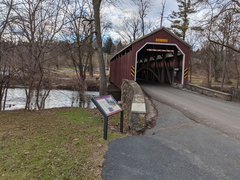
West Earl Township near Ephrata in Lancaster County, Pennsylvania — The American Northeast (Mid-Atlantic)
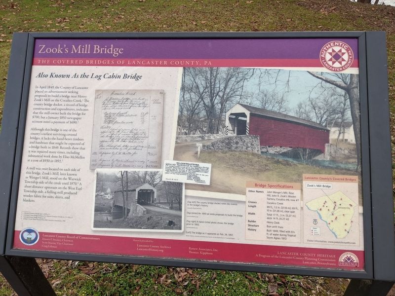
Zook's Mill Bridge
The Covered Bridges of Lancaster County, PA
Also Known As the Log Cabin Bridge
In April 1849, the County of Lancaster placed an advertisement seeking proposals to build a bridge near Henry Zook's Mill on the Cocalico Creek. The county bridge docket, a record of bridge construction and expenditures, indicates that the mill owner built the bridge for $700, but a January 1850 newspaper account notes a payment of $690.
Although this bridge is one of the county's earliest surviving covered bridges, it lacks the hand-hewn timbers and hardware that might be expected of a bridge built in 1849. Records show that it was repaired many times, including substantial work done by Elias McMellen at a cost of $930 in 1892.
A mill was once located on each side of this bridge. Zook's Mill, later known as Wenger's Mill, stood on the Warwick Township side of the creek until 1970. A short distance upstream on the West Earl Township side, a fulling mill produced woolen fabric for suits, shirts, and blankets.
Bridge Specifications
Other Names: John Wenger's Mill, Rose Hill, John K. Zook's Woolen Factory, Cocalico #8, now #7
Crosses: Cocalico Creek
Length: 89 ft., 1.5 in. (27.16 m); 69 ft., 10 in. (21.28 m), clear span
Width: Total 17 ft., 3 in. (5.27 m); deck 14 ft. (4.27 m)
Builder: Henry Zook
Structure: Burr arch truss
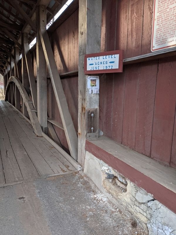
History: Built 1849; filled with 6½ ft. of water during Tropical Storm Agnes 1972
Erected by Lancaster County Board of Commissioners.
Topics and series. This historical marker is listed in this topic list: Bridges & Viaducts. In addition, it is included in the Covered Bridges series list. A significant historical month for this entry is January 1850.
Location. 40° 7.82′ N, 76° 13.868′ W. Marker is near Ephrata, Pennsylvania, in Lancaster County. It is in West Earl Township. Marker is on Log Cabin Road just east of Rose Hill Road, on the right when traveling east. Touch for map. Marker is at or near this postal address: 410 Rose Hill Rd, Ephrata PA 17522, United States of America. Touch for directions.
Other nearby markers. At least 8 other markers are within 3 miles of this marker, measured as the crow flies. Brownstown (approx. ¾ mile away); In Memoriam to those of West Earl Township (approx. 1.2 miles away); Cpl. Gerald L. Habecker (approx. 1.8 miles away); Oil Pumping Station (approx. 1.9 miles away); Pinetown Bridge (approx. 1.9 miles away); Philip Roth Cemetery (approx. 2 miles away); Rothsville (approx. 2.1 miles away); Millway Village (approx. 2.2 miles away).
Credits. This page was last revised on February 7, 2023. It was originally submitted on January 17, 2021, by William Pope of Marietta, Pennsylvania. This page has been viewed 343 times since then and 28 times this year. Last updated on June 11, 2021, by Carl Gordon Moore Jr. of North East, Maryland. Photos: 1, 2, 3. submitted on January 17, 2021, by William Pope of Marietta, Pennsylvania. • Devry Becker Jones was the editor who published this page.


