DritvÝk in SnŠfellsbŠr, Vesturland, Iceland — North Atlantic and Artic Oceans (a Nordic Island)
Lifting Stones
Steint÷k
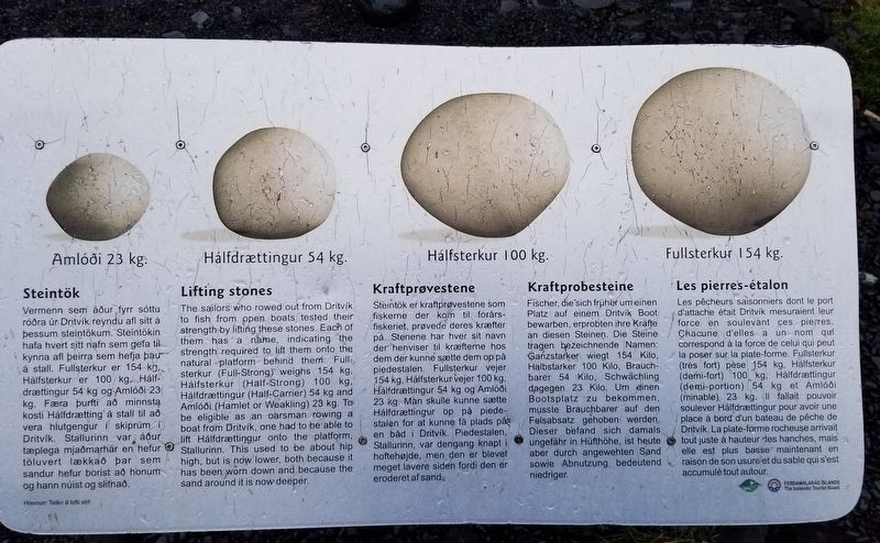
Vermenn sem ßur fyrr sˇttu rˇra ˙r DritvÝk reyndu afl sitt ß O ■essum steint÷kum. Steint÷kin hafa hvert sitt nafn sem gefa til A kynna afl ■eirra sem hefja ■au ß stall. Fullsterkur er 154 kg Hßlfsterkur er 100 kg, Hßlf drŠttingur 54 kg og Amlˇi 23 kg. FŠra ■urfti a minnsta kosti HßlfdrŠtting ß stall til a vera hlutgengur Ý skipr˙m Ý DritvÝk. Stallurinn var ßur tŠplega mjamarhßr en hefur t÷luvert lŠkka ■ar sem sandur hefur borist a honum og hann n˙ist og slitna.
H÷nnun: Teikn ß lofti ehf
Amlˇi 23 kg.
HßlfdrŠttingur 54 kg.
Hßlfsterkur 100 kg.
Fullsterkur 154 kg.
Lifting stones
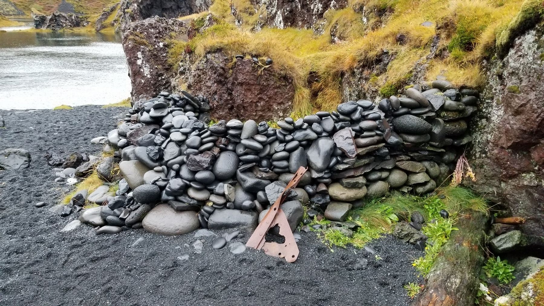
The sailors who rowed out from DritvÝk to fish from open boats tested their strength by lifting these stones. Each of them has a name, indicating the strength required to lift them onto the natural platform behind them. Full sterkur (Full-Strong) weighs 154 kg. Hßlfsterkur (Half-Strong) 100 kg, HßlfdrŠttingur (Half-Carrier) 54 kg and Amlˇi (Hamlet or Weakling) 23 kg. To be eligible as an oarsman rowing a boat from DritvÝk, one had to be able to lift HßlfdrŠttingur onto the platform, Stallurinn. This used to be about hip high, but is now lower, both because it has been worn down and because the sand around it is now deeper.
Kraftprobesteine
Fischer, die sich frŘher um einen Platz auf einem DritvÝk Boot bewarben, erprobten ihre Krńfte an diesen Steinen. Die Steine tragen bezeichnende Namen: Ganzstarker wiegt 154 Kilo, Halbstarker 100 Kilo, Brauch barer 54 Kilo, Schwńchling dagegen 23 Kilo, Um einen Bootsplatz zu bekommen, musste Brauchbarer auf den Felsabsatz gehoben werden. Dieser befand sich damals ungefńhr in HŘfth÷he, ist heute aber durch angewehten Sand sowie Abnutzung bedeutend niedriger.
Kraftpr°vestene
Steint÷k er kraftpr°vestene som fiskerne der kom til forňrs fiskeriet, pr°vede deres krŠfter pň. Stenene har hver sit navn der henviser til krŠfterne hos dem der kunne sŠtte dem op pň piedestalen. Fullsterkur vejer 154 kg, Hßlfsterkur vejer 100 kg, HßlfdrŠttingur 54 kg og Amlˇi 23 kg. Man skulle kunne sŠtte HßlfdrŠttingur op pň piede stalen for at kunne fň plads pň en bňd i DritvÝk. Piedestalen, Stallurinn, var dengang knapt i hofteh°jde, men den er blevet meget lavere siden fordi den er eroderet af sand.
translation:)
Les pierre's-Útalon
Les pŕcheurs saisonniers dont le port d'attache Útait DritvÝk mesuraient leur force en soulevant ces pierres. Chacune d'elles a un nom qui correspond Ó la force de celui qui peut la poser sur la plate-forme. Fullsterkur (trŔs fort) pŔse 154 kg, Hßlfsterkur (demi-fort) 100 kg, HßlfdrŠttingur (demi-portion) 54 kg et Amlˇi (minable) 23 kg. Il fallait pouvoir soulever HßlfdrŠttingur pour avoir une place Ó bord d'un bateau de pŕche de DritvÝk. La plate-forme rocheuse arrivait tout juste Ó hauteur des hanches, mais elle est plus basse maintenant en raison de son usure et du sable qui s'est accumulÚ tout autour.
Erected by FERDAM┴LAR┴đ ═SLANDS The Icelandic Tourist Board.
Topics. This historical marker is listed in this topic list: Natural Features.
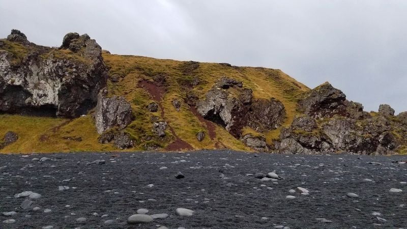
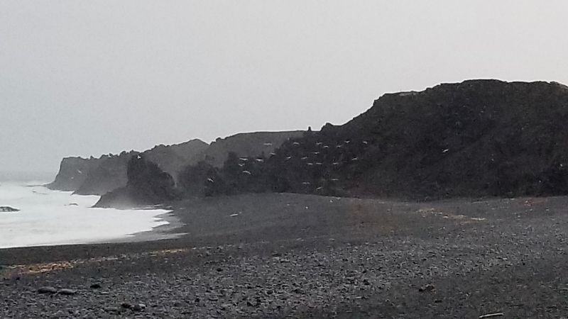
Location. 64° 45.198′ N, 23° 53.921′ W. Marker is in DritvÝk, Western Region (Vesturland), in SnŠfellsbŠr. Marker can be reached from DritvÝkurvegur (Route 572) 2.1 kilometers west of ┌tnesvegur. At the Dj˙palˇnssandur beach parking lot, the marker is located on a short hike toward the beach which takes about 5 minutes to walk. Touch for map. Marker is at or near this postal address: 572 DritvÝkurvegur, DritvÝk, Western Region 356, Iceland. Touch for directions.
Other nearby markers. At least 1 other marker is within walking distance of this marker. Epine - Grimsby (a few steps from this marker).
Credits. This page was last revised on August 27, 2023. It was originally submitted on June 12, 2021, by James Hulse of Medina, Texas. This page has been viewed 328 times since then and 45 times this year. Photos: 1, 2, 3, 4. submitted on June 12, 2021, by James Hulse of Medina, Texas.


