New Liberty in Owen County, Kentucky — The American South (East South Central)
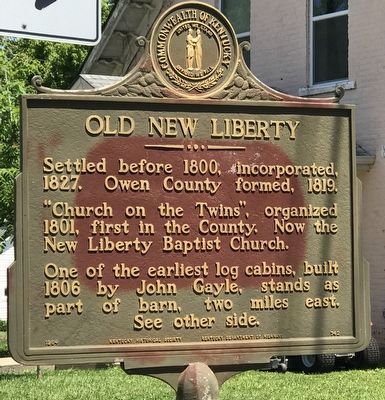
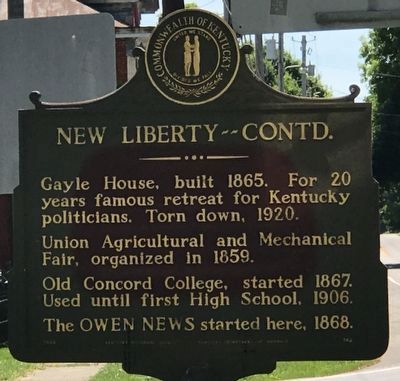
Old New Liberty / New Liberty, Contd.
"Church on the Twins", organized 1801, first in the County. Now the New Liberty Baptist Church.
One of the earliest log cabins, built 1806 by John Cayle, stands as part of barn, two miles east.
Union Agricultural and Mechanical Fair, organized in 1859.
Old Concord College, started 1867. Used until first High School, 1906.
The OWEN NEWS started here, 1868.
Erected 1964 by Kentucky Historical Society and Kentucky Department of Highways. (Marker Number 742.)
Topics and series. This historical marker is listed in these topic lists: Churches & Religion • Communications • Education • Settlements & Settlers. In addition, it is included in the Kentucky Historical Society series list. A significant historical year for this entry is 1827.
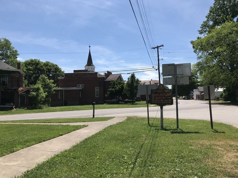
Location. 38° 36.957′ N, 84° 54.384′ W. Marker is in New Liberty, Kentucky, in Owen County. Marker is at the intersection of Kentucky Route 36/227 and Two Mile Road, on the right when traveling west on State Route 36/227. Touch for map. Marker is in this post office area: New Liberty KY 40355, United States of America. Touch for directions.
Other nearby markers. At least 8 other markers are within 11 miles of this marker, measured as the crow flies. First Rural Electric In County (approx. 3.3 miles away); Sanders (approx. 3˝ miles away); Jacob Hunter (approx. 6 miles away); Vice Admiral William A. “Mose” Lee Jr. (approx. 6.7 miles away); Grass Hills (approx. 6.9 miles away); Historic Gratz Bridge (approx. 10.2 miles away); Gratz, A Kentucky River Town (approx. 10.2 miles away); Earl New Veterans Memorial (approx. 10.2 miles away).
Credits. This page was last revised on June 12, 2021. It was originally submitted on June 12, 2021, by Duane and Tracy Marsteller of Murfreesboro, Tennessee. This page has been viewed 265 times since then and 32 times this year. Photos: 1, 2, 3. submitted on June 12, 2021, by Duane and Tracy Marsteller of Murfreesboro, Tennessee.


