Near Columbiana in Columbiana County, Ohio — The American Midwest (Great Lakes)
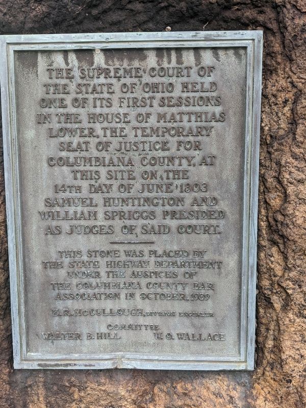
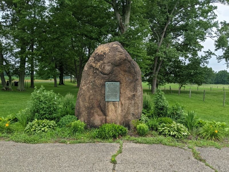
The Supreme Court of the State of Ohio
Photographed by Mike Wintermantel
1. The Supreme Court of the State of Ohio Marker
Erected 1939 by The State Highway Department and The Columbiana County Bar Association.
Topics. This historical marker is listed in this topic list: Government & Politics. A significant historical month for this entry is June 1803.
Location. 40° 51.209′ N, 80° 39.071′ W. Marker is near Columbiana, Ohio, in Columbiana County. It is on Ohio Route 7 half a mile south of Route 46, on the right when traveling south. Touch for map. Marker is in this post office area: Columbiana OH 44408, United States of America. Touch for directions.

Regionally, this marker is in the Mahoning Valley. It is also in the American Midwest, in Appalachia, and specifically in Northern Appalachia. Globally, it is in North America, the Western Hemisphere, the Western World, and the Anglosphere. Historically, it finds itself in what was once the Viceroyalty of New France, the
this page online
Other nearby markers. At least 8 other markers are within 3 miles of this marker, measured as the crow flies: Vagabond Village at Firestone Farms (approx. 2.1 miles away); Veterans Memorial (approx. 2.8 miles away); G.A.R. Veterans Memorial (approx. 3 miles away); Lilac Stroll Garden (approx. 3 miles away); Cabin Ruin Garden (approx. 3 miles away); Gathering Place and Garden (approx. 3 miles away); Spring Garden (approx. 3 miles away); Site of Hanna Log Cabin (approx. 3 miles away). Touch for a list and map of all markers in Columbiana.
Photographed by Mike Wintermantel
2. The Supreme Court of the State of Ohio Marker
Credits. This page was last revised on June 12, 2021. It was originally submitted on June 12, 2021, by Mike Wintermantel of Pittsburgh, Pennsylvania. This page has been viewed 486 times since then and 58 times this year. Photos: 1, 2. submitted on June 12, 2021, by Mike Wintermantel of Pittsburgh, Pennsylvania.
