
Downtown in Indianapolis in Marion County, Indiana — The American Midwest (Great Lakes)
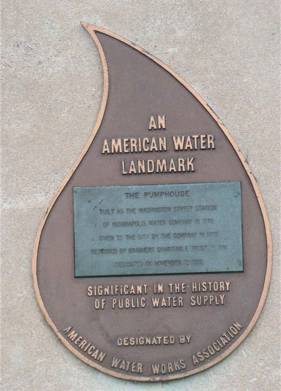
The Pumphouse
An American Water Landmark
— Significant in the History of Public Water Supply —
Photographed By Rev. Ronald Irick, June 1, 2021
1. The Pumphouse Marker
Erected 1982 by American Water Works Association.
Topics. This historical marker is listed in these topic lists: Charity & Public Work • Industry & Commerce. A significant historical date for this entry is November 12, 1982.
Location. 39° 46.007′ N, 86° 10.33′ W. Marker is in Indianapolis, Indiana, in Marion County. It is in Downtown. Marker can be reached from West Washington Street, 0.3 miles west of North West Street, on the right when traveling south. Touch for map. Marker is at or near this postal address: 717 W Washington St, Indianapolis IN 46204, United States of America. Touch for directions.
Other nearby markers. At least 8 other markers are within walking distance of this marker. A different marker also named The Pumphouse (here, next to this marker); McCormick Cabin Site (about 600 feet away, measured in a direct line); Politicians, Poets, and Lion Tamers (about 700 feet away); National Road Legacy Project (approx. 0.2 miles away); Jay County (approx. 0.2 miles away); Vermillion County (approx. 0.2 miles away); Tippecanoe County (approx. 0.2 miles away); Jackson County (approx. 0.2 miles away). Touch for a list and map of all markers in Indianapolis.
this page online
Photographed By Rev. Ronald Irick, June 1, 2021
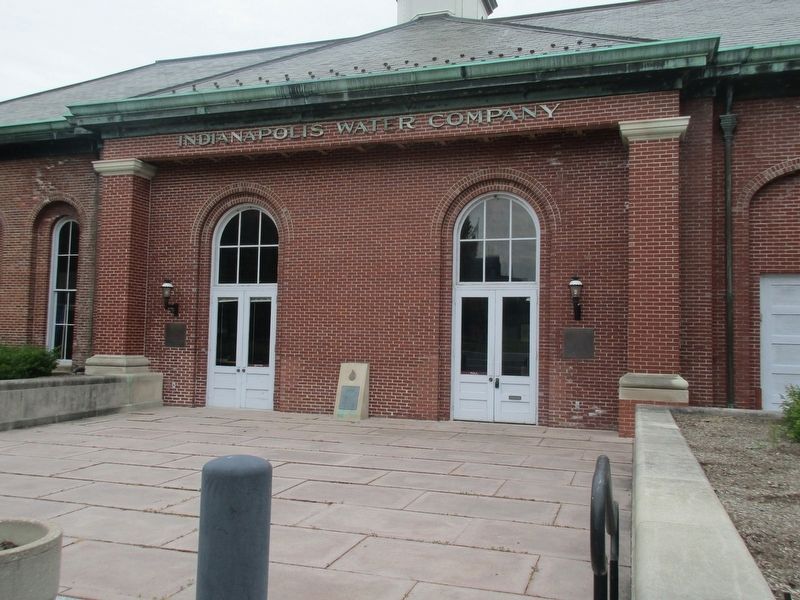
2. The Pumphouse
Credits. This page was last revised on February 4, 2023. It was originally submitted on June 12, 2021, by Rev. Ronald Irick of West Liberty, Ohio. This page has been viewed 112 times since then and 17 times this year. Photos: 1, 2. submitted on June 9, 2021, by Rev. Ronald Irick of West Liberty, Ohio. • Devry Becker Jones was the editor who published this page.

