Buchananís Station
The Cumberland Settlements
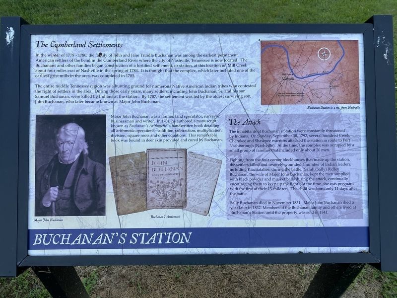
In the winter of 1779 - 1780, the family of John and Jane Trindle Buchanan was among the earliest permanent American settlers of the bend in the Cumberland River where the city of Nashville, Tennessee is now located. The Buchanans and other families began construction of a fortified settlement, or station, at this location on Mill Creek about four miles east of Nashville in the spring of 1784. It is thought that the complex, which later included one of the earliest grist mills in the area, was completed in 1785.
The entire middle Tennessee region was a hunting ground for numerous Native American Indian tribes who contested the right of settlers in the area. During those early years, many settlers, including John Buchanan, Sr. and his son Samuel Buchanan, were killed by Indians at the station. By 1787, the settlement was led by the oldest surviving son, John Buchanan, who later became known as Major John Buchanan.
Major John Buchanan was a farmer, land speculator, surveyor, businessman and writer. In 1781, he authored a manuscript known as Buchanan's Arithmetic, a handwritten book detailing all arithmetic operations-addition, subtraction, multiplication, division, square roots and other equations. This remarkable book was bound in deer skin provided and cured by Buchanan.
The
Attack
The inhabitants at Buchanan's Station were constantly threatened by Indians. On Sunday, September 30, 1792, several hundred Creek, Cherokee and Shawnee warriors attacked the station in route to Fort Nashborough (Nashville). At the time, the complex was occupied by a small group of families that included only about 20 men.
Fighting from the four corner blockhouses that made up the station, the settlers killed and severely wounded a number of Indian leaders, including Kiachatallee, during the battle. Sarah (Sally) Ridley Buchanan, the wife of Major John Buchanan, kept the men supplied with black powder and musket balls during the attack, continually encouraging them to keep up the fight. At the time, she was pregnant with the first of their 13 children. The child was born only 11 days after the battle.
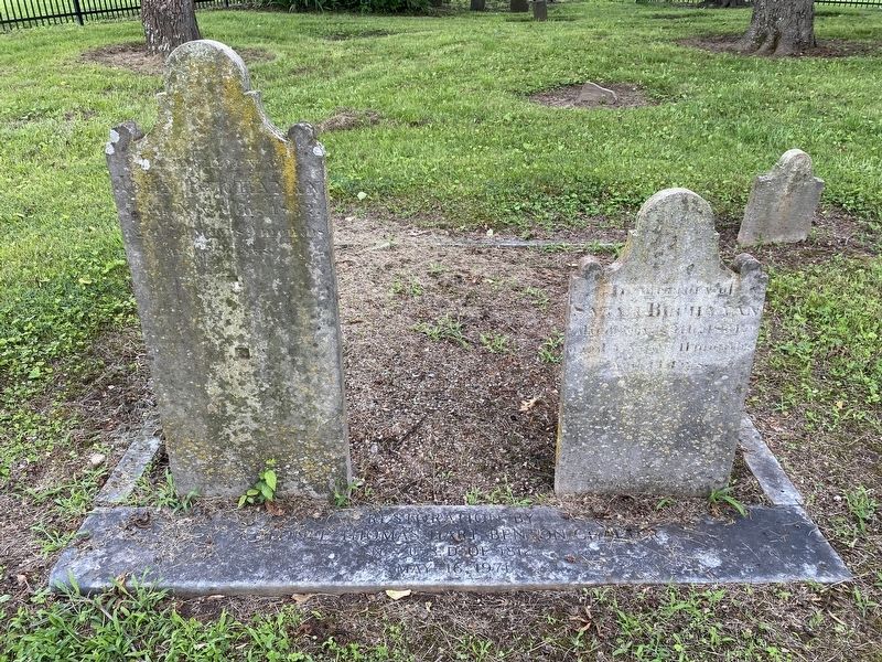
Sally Buchanan died in November 1831. Major John Buchanan died a year later in 1832. Members of the Buchanan family and others lived at Buchanan's Station until the property was sold in 1841.
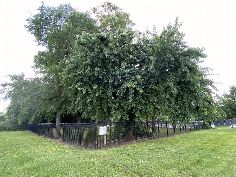
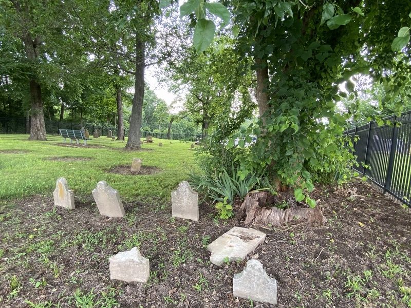
Topics. This historical marker is listed in these topic lists: Cemeteries & Burial Sites • Settlements & Settlers.
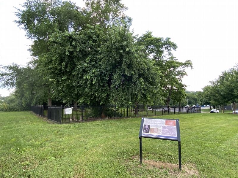
Location. 36° 8.753′ N, 86° 42.775′ W. Marker is in Nashville, Tennessee, in Davidson County. Marker is on Massman Drive, 0.2 miles north of Elm Hill Pike,
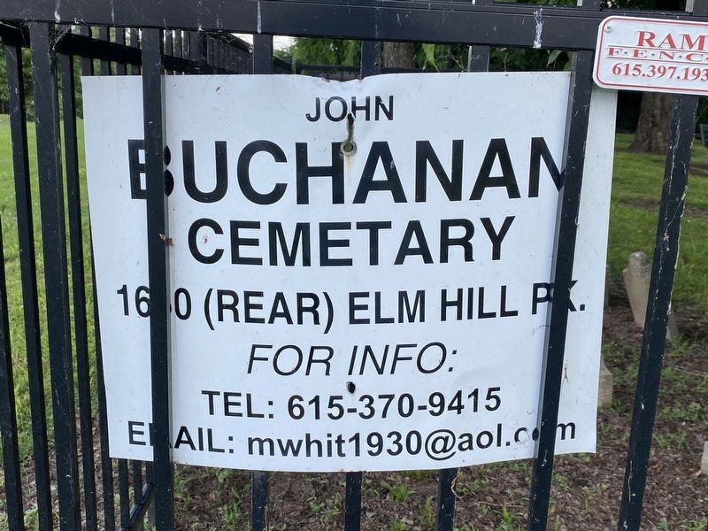
Other nearby markers. At least 8 other markers are within 2 miles of this marker, measured as the crow flies. Buchanan Station Cemetery (a few steps from this marker); Buchananís Station Cemetery (a few steps from this marker); a different marker also named Buchanan's Station (about 500 feet away, measured in a direct line); Brewery at Mill Creek (about 600 feet away); Greenwood Park (approx. half a mile away); George Woods (approx. 0.6 miles away); Caroline Meriwether Goodlett (approx. 1.2 miles away); William Nelson Rector Beall (approx. 1.2 miles away). Touch for a list and map of all markers in Nashville.
Also see . . . Major John Buchanan. Wikipedia article (Submitted on June 13, 2021, by Darren Jefferson Clay of Duluth, Georgia.)
Credits. This page was last revised on June 14, 2021. It was originally submitted on June 13, 2021, by Darren Jefferson Clay of Duluth, Georgia. This page has been viewed 632 times since then and 89 times this year. Photos: 1, 2, 3, 4, 5, 6. submitted on June 13, 2021, by Darren Jefferson Clay of Duluth, Georgia. • Devry Becker Jones was the editor who published this page.
