Chinatown in San Francisco City and County, California — The American West (Pacific Coastal)
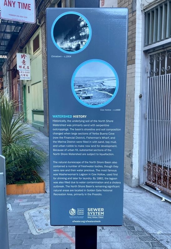
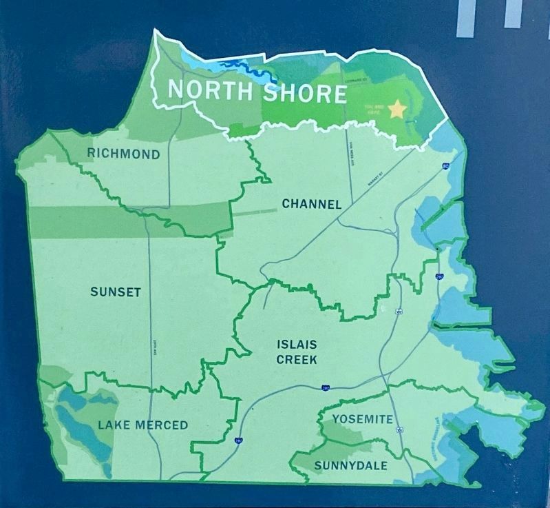
Watershed History (North Shore)
Erected by SFwater.org.
Topics. This historical marker is listed in this topic list: Environment.
Location. 37° 47.685′ N, 122° 24.448′ W. Marker is in San Francisco, California, in San Francisco City and County. It is in Chinatown. Marker is on Spofford Street near Washington Street, in the median. Touch for map. Marker is at or near this postal address: 47 Spofford Street, San Francisco CA 94108, United States of America. Touch for directions.
Other nearby markers. At least 8 other markers are within walking distance of this marker. Spofford Alley / 斯呂宋巷 (within shouting distance of this marker); Ross Alley / 舊呂宋巷 (within shouting distance of this marker); The Birthplace of a Great City (about 300 feet away, measured in a direct line); First Chinese American Boy Scout Troop in America (about 300 feet away); Hang Ah Alley / 香亞巷 (about 300 feet away); Alleyways in Chinatown (about 300 feet away); California Star (about 400 feet away); Site of San Francisco’s First Book Store (about 500 feet away). Touch for a list and map of all markers in San Francisco.
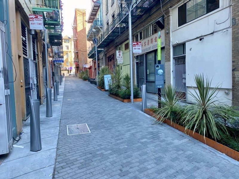
More about this marker. The marker is about 30 feet south of Washington Street in Spofford Street, set amongst some planters. (Note, Spofford Street is more of an alley - no vehicles allowed, and good luck finding parking anywhere nearby.)
Also see . . . SF Watersheds. (Submitted on June 13, 2021.)

courtesy of the Bancroft Library, UC Berkeley, 1896
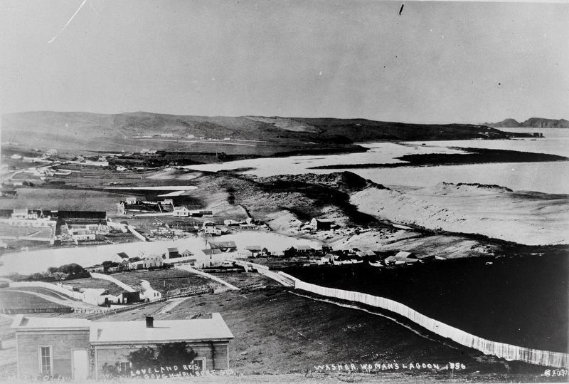
4. Cow Hollow, showing Washerwoman's Lagoon
This is a picture of Cow Hollow, showing Washerwoman's Lagoon (the body of water on the left), as denoted and depicted on the marker. The marker photo of Cow Hollow is dated circa 1888, and is virtually the same photo in content, perspective, and lighting as this photo from the Bancroft Library, which has dated it to 1896 - although somewhat confusingly, "1856" is visible on the photo where a date would be expected. (NB: Bancroft possesses the negative.) That the marker and Bancroft photos are one and the same seems fairly certain - if one looks at the Loveland residence in the foreground of the Bancroft photo, the shadow of the chimney and the positioning and amount of ivy growing up the side of the house are identical. The San Francisco Public Library's History Center also has the same photo, and dates it to circa 1866-67. To further muddy the waters, the Bancroft Library has another extremely similar photo by Carleton Watkins, dated tentatively to circa 1857-62. Regardless of the photo date, what remains today of the lagoon is a street name - Laguna Street.
Credits. This page was last revised on February 7, 2023. It was originally submitted on June 13, 2021, by Andrew Ruppenstein of Lamorinda, California. This page has been viewed 201 times since then and 47 times this year. Photos: 1, 2, 3, 4. submitted on June 13, 2021, by Andrew Ruppenstein of Lamorinda, California.


