Coxsackie in Greene County, New York — The American Northeast (Mid-Atlantic)
Bethel AME
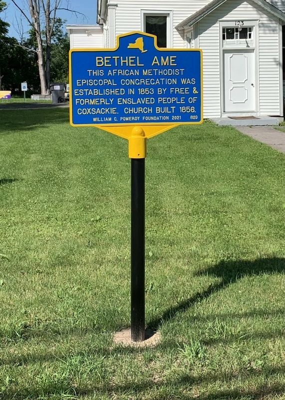
Photographed by Steve Stoessel, June 13, 2021
1. Bethel AME Marker
Erected 2021 by William G. Pomeroy Foundation. (Marker Number 820.)
Topics and series. This historical marker is listed in these topic lists: African Americans • Religion & Religious Structures. In addition, it is included in the African Methodist Episcopal (AME) Church, and the William G. Pomeroy Foundation series lists. A significant historical year for this entry is 1853.
Location. 42° 21.366′ N, 73° 48.516′ W. Marker is in Coxsackie, New York, in Greene County. It is at the intersection of Mansion Street (New York State Route 385) and Spencer Street, on the right when traveling west on Mansion Street. Touch for map. Marker is at or near this postal address: 123 Mansion St, Coxsackie NY 12051, United States of America. Touch for directions.

Regionally, this marker is in Upstate New York and in the Hudson Valley. It is also in the American Northeast and in the Mid-Atlantic. Globally, it is in North America, the Western Hemisphere, the Western World, and the Anglosphere.
this page online
Other nearby markers. At least 8 other markers are within walking distance of this marker: George H. Scott (about 300 feet away, measured in a direct line); Village Cemetery (about 800 feet away); Honor Roll (approx. ¼ mile away); Heermance Library (approx. 0.7 miles away); In Memory (approx. 0.7 miles away); Return of the Bald Eagle / Coxsackie State Boat Launch (approx. 0.7 miles away); Reed’s Landing (approx. 0.7 miles away); An Ancient Highway (approx. 0.7 miles away). Touch for a list and map of all markers in Coxsackie.
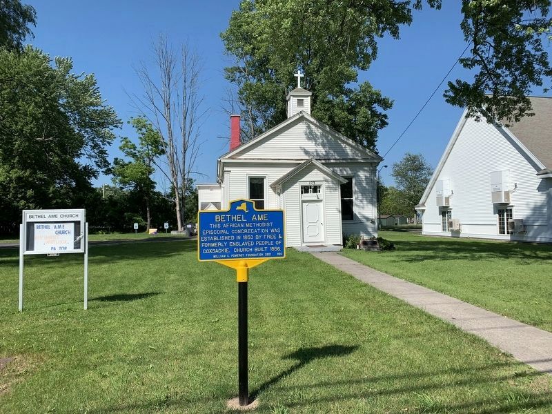
Photographed by Steve Stoessel, June 13, 2021
2. Bethel AME
Credits. This page was last revised on June 13, 2021. It was originally submitted on June 13, 2021, by Steve Stoessel of Niskayuna, New York. This page has been viewed 484 times since then and 40 times this year. Photos: 1, 2. submitted on June 13, 2021, by Steve Stoessel of Niskayuna, New York. • Devry Becker Jones was the editor who published this page.
