Blacksburg in York County, South Carolina — The American South (South Atlantic)
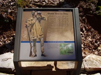
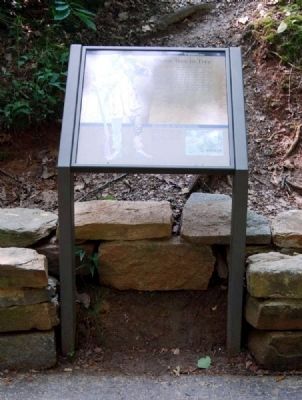
Shoot Tree to Tree
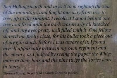
Ben Hollingsworth and myself took right up the side of the mountain, and fought our way from tree to tree, up to the summit. I recollect I stood behind one tree and fired until the bark was nearly all knocked off, and my eyes pretty well filled with it. One fellow shaved me pretty close, for his bullet took a piece out of my gun stock. Before I was aware of it, I found myself apparently between my own regiment and the enemy, as I judged by seeing the paper the Whigs wore in their hats and the pine twigs the Tories wore in theirs....
Thomas Young, 16 years old, South Carolina patriot
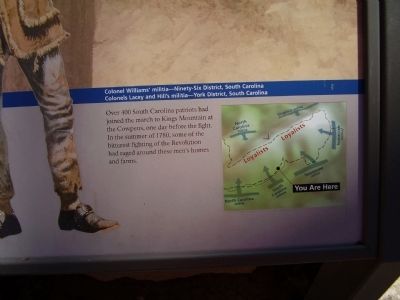
Colonel Williams' militia - Ninety-Six District, South Carolina
Colonel Lacey and Hill's militia - York District, South Carolina
Over 400 South Carolina patriots had joined the march to Kings Mountain at the Cowpens, one day before the fight. In the summer of 1780, some of the bitterest fighting of the Revolution had raged around these men's homes and farms.
Erected by National Park Service.
Topics. This historical marker is listed in these topic lists: Patriots & Patriotism • War, US Revolutionary. A significant historical year for this entry is 1780.
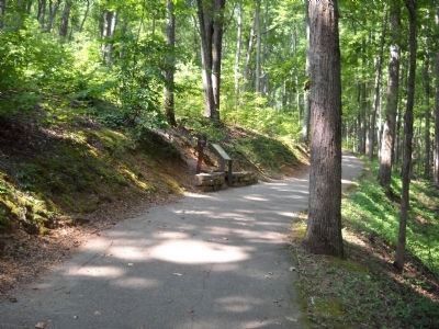
Location. 35° 8.579′ N, 81° 22.924′ W. Marker is in Blacksburg, South Carolina , in York County. Marker can be reached from Park Road, on the right when traveling east. Located along a 1.5 mile walking trail around the Kings Mountain Battlefield. Touch for map. Marker is at or near this postal address: 2526 Park Road, Blacksburg SC 29702, United States of America. Touch for directions.
Other nearby markers. At least 10 other markers are within walking distance of this marker. Tighten the Noose (about 400 feet away, measured in a direct line); King's Mountain (about 500 feet away); Caught in a Crossfire (about 500 feet away); Be Your Own Officer (about 500 feet away); Loyal Carolina Men (about 600 feet away); Lieutenant Colonel James Hawthorn (about 600 feet away); Col. Asbury Coward (approx. 0.2 miles away); Col. Ferguson Fell (approx. 0.2 miles away); Major Ferguson Falls (approx. 0.2 miles away); Colonel Patrick Ferguson Memorial (approx. 0.2 miles away). Touch for a list and map of all markers in Blacksburg.
More about this marker. On the left is a figure depicting one of the South Carolina militia. On the lower right is a map of the battlefield.
Also see . . .
1. Kings Mountain National Military Park (U.S. National Park Service). Thomas Jefferson called it "The turn of the tide of success." (Submitted on April 2, 2009, by Craig Swain of Leesburg, Virginia.)
2. Kings Mountain National Military Park, Historic Resource Study, National Park Service. (Submitted on September 10, 2019.)
Credits. This page was last revised on September 11, 2019. It was originally submitted on April 1, 2009, by Stanley and Terrie Howard of Greer, South Carolina. This page has been viewed 945 times since then and 16 times this year. Photos: 1. submitted on April 1, 2009, by Stanley and Terrie Howard of Greer, South Carolina. 2. submitted on September 11, 2010, by Brian Scott of Anderson, South Carolina. 3. submitted on April 1, 2009, by Stanley and Terrie Howard of Greer, South Carolina. 4, 5. submitted on September 11, 2010, by Brian Scott of Anderson, South Carolina. 6. submitted on August 22, 2010, by Bill Coughlin of Woodland Park, New Jersey. • Craig Swain was the editor who published this page.
