Lometa in Lampasas County, Texas — The American South (West South Central)
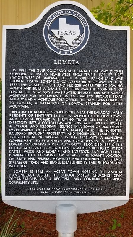
Lometa
In 1885, the Gulf, Colorado and Santa Fe Railway (GC&SF) extended its tracks northwest from Temple. For its first station west of Lampasas, a site in open ranch land was chosen. Frank Longfield conveyed right-of-way in June 1885. The GC&SF bought another 200 acres the following month and built a small depot. This was the beginning of Lometa. The new town was platted in May 1886 and named Montvale for the area's hills and valleys. Because Texas already had a Montvale post office, the name was changed to Lometa, a variation of Lomita, Spanish for little mountain.
Because of business opportunities near the railroad, many residents of Senterfitt (2.5 mi. W) moved to the new town, and Lometa became a thriving trade center. An 1892 directory lists a cotton gin and grist mill, three churches, a school, and telegraph service in a town of 200 people. Development of GC&SF's Eden Branch and the Scholten Railroad brought prosperity and increased trade in the 1910s. Lometa incorporated in July 1919 with a municipal government led by a mayor and five aldermen. In 1939, the Lower Colorado River Authority provided efficient electrical service. Lometa became a major shipping point for cattle, wool and mohair, and livestock and agriculture dominated the economy for decades. The town's location on state and federal highways has continued the steady stream of trade and travel established by earlier roads and rail lines.
Lometa is still an active town hosting the annual Diamondback Jubilee. The school system, churches, civic organizations and a regional park continue to enrich community life.
175 Years of Texas Independence * 1836-2011
Erected 2011 by Texas Historical Commission. (Marker Number 16868.)
Topics. This historical marker is listed in these topic lists: Industry & Commerce • Railroads & Streetcars. A significant historical month for this entry is May 1886.
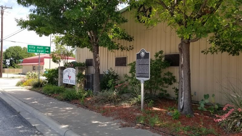
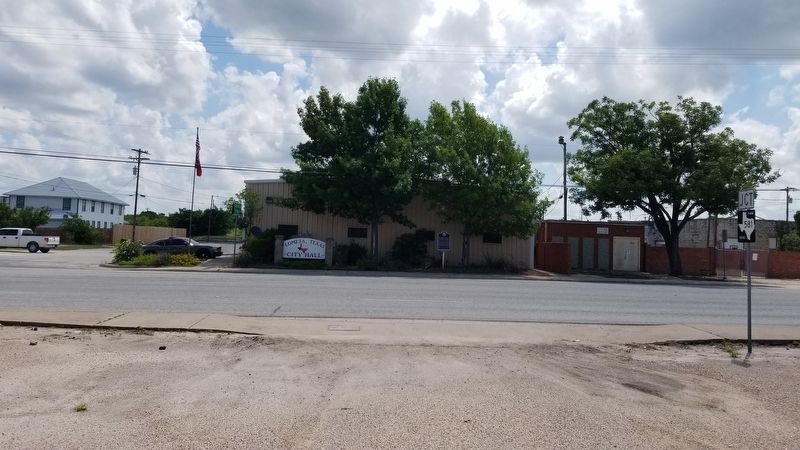
Location. 31° 13.033′ N, 98° 23.65′ W. Marker is in Lometa, Texas, in Lampasas County. Marker is at the intersection of 4th Street (Highway 183) and San Saba Street, on the right when traveling north on 4th Street. The marker is located in front of the Lometa City Hall. Touch for map. Marker is at or near this postal address: 100 San Saba Street, Lometa TX 76853, United States of America. Touch for directions.
Other nearby markers. At least 8 other markers are within 3 miles of this marker, measured as the crow flies. C.S.A. Salts Works (approx. half a mile away); Scholten Railroad (approx. 0.6 miles away); Veterans of Lampasas County (approx. one mile away); Operation Long Horn (approx. one mile away); Site of Lometa Reservoir (approx. 1.9 miles away); Phantom Hill Road (approx. 2.1 miles away); Site of the Town of Senterfitt (approx. 3.1 miles away); Senterfitt Cemetery (approx. 3.1 miles away). Touch for a list and map of all markers in Lometa.
Regarding Lometa. Home Of The Diamondback Jubilee - a Rattlesnake Round-Up held annually for its rattlesnake catching competition
Also see . . . Lometa, TX.
Lometa was founded in 1885, when the Gulf, Colorado and Santa Fe Railway began building west from Lampasas to San Angelo. A depot named Montvale, the first stop west of Lampasas, was established 2˝ miles from Senterfitt, and a railroad agent named Cox took up residence. Eventually the entire town of Senterfitt, buildings and all, was moved to the new location. Source: The Handbook of Texas(Submitted on June 17, 2021, by James Hulse of Medina, Texas.)
Credits. This page was last revised on June 17, 2021. It was originally submitted on June 17, 2021, by James Hulse of Medina, Texas. This page has been viewed 279 times since then and 47 times this year. Photos: 1, 2, 3. submitted on June 17, 2021, by James Hulse of Medina, Texas.


