Alliance in Sabine Parish, Louisiana — The American South (West South Central)
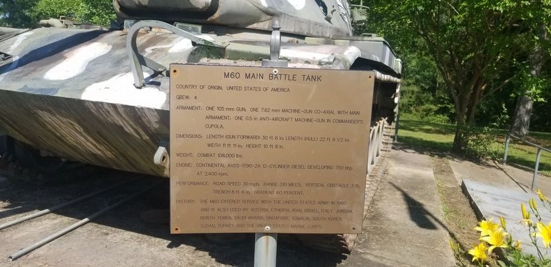
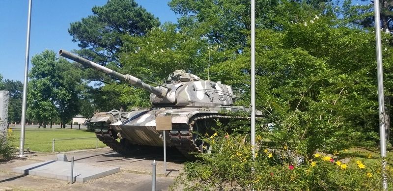
M60 Main Battle Tank
Photographed by Cajun Scrambler, June 11, 2021
1. M60 Main Battle Tank Marker
Country of Origin: United States of America
Crew: 4
Armament: One 105mm Gun;One 7.62 mm Machine-Gun co-axial with main armament; One 0.5in Anti-Aircraft machine-gun in commanders cupola.
Dimensions: Length (Gun forward) 30ft 6 in; Length (hull) 22ft 9½in; Width 11ft 11in; Height 10ft 8in.
Weight: Combat 108,000 lbs.
Engine: Continental AVDS-1790-2A 12 Cylinder diesel developing 750 bhp at 2,400 rpm.
Performance: Road speed 30 mph; range 30 miles; verticle obstacle 3ft; trench 8ft 6in; gradient 60 percent.
History: The M60 entered service with the United States Army in 1960 and is also used by Austria, Ethiopia, Iran, Israel, Italy, Jordan, North Yemen, Saudi Arabia, Singapore, Somalia, South Korea, Sudan, Turkey and the United States Marine Corps.
Topics. This historical marker is listed in this topic list: Military.
Location. 31° 30.195′ N, 93° 39.133′ W. Marker is in Alliance, Louisiana, in Sabine Parish. It is on State Highway 191 north of Lanana Bay Drive, on the right when traveling north. Touch for map. Marker is in this post office area: Many LA 71449, United States
this page online

Regionally, this marker is in Central Louisiana. It is also in the American South, specifically in the Deep South, and in the Piney Woods. Globally, it is in North America, a Gulf of Mexico state, the Western Hemisphere, the Western World, and the Anglosphere. Historically, it finds itself in what was once New Spain, the territory of the Mississippian Culture, the Louisiana Purchase, one of the Confederate States of America, and the Antebellum South.
Other nearby markers. At least 8 other markers are within 7 miles of this marker, measured as the crow flies: Servicemen who were Killed in Action (here, next to this marker); West Louisiana Veterans Memorial and Park (here, next to this marker); El Camino Real (approx. 3.3 miles away); Pendleton Crossing (approx. 3.3 miles away); The History of Toledo Bend (approx. 3.4 miles away); Gaines Memorial Bridge (approx. 6.6 miles away in Texas); Site of Historic Crossing on the Sabine River (approx. 6.6 miles away in Texas); Site of Sabine River Crossing (approx. 6.6 miles away in Texas).
More about this marker. Located on the grounds of
Photographed by Cajun Scrambler, June 11, 2021
2. M60 Main Battle Tank Marker
Credits. This page was last revised on June 19, 2021. It was originally submitted on June 19, 2021, by Cajun Scrambler of Assumption, Louisiana. This page has been viewed 394 times since then and 51 times this year. Photos: 1, 2. submitted on June 19, 2021, by Cajun Scrambler of Assumption, Louisiana.
