
Charlotte center city in Mecklenburg County, North Carolina — The American South (South Atlantic)
Friendship Missionary Baptist Church
Photographed by Devry Becker Jones (CC0), June 17, 2021
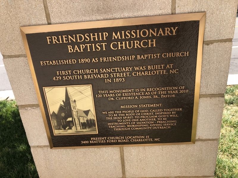
1. Friendship Missionary Baptist Church Marker
Established 1890 as Friendship Baptist Church
First church sanctuary was built at 429 South Brevard Street, Charlotte, NC in 1893
This monument is in recognition of 120 years of existence as of the year 2010, Dr. Clifford A. Jones, Sr., Pastor
Mission Statement:
We are the people of God, called together to be the Body of Christ, inspired by the Holy Spirit: to proclaim God's Will, to love one another, to be instruments of salvation — preaching, teaching, worshipping, giving service through community outreach.
Present church location is 3400 Beatties Ford Road, Charlotte, NC
Erected 2010 by Friendship Missionary Baptist Church.
Topics. This historical marker is listed in these topic lists: African Americans • Religion & Religious Structures. A significant historical year for this entry is 1890.
Location. 35° 13.295′ N, 80° 50.651′ W. Marker is in Charlotte, North Carolina, in Mecklenburg County. It is in Charlotte center city. It is on South Brevard Street 0.1 miles south of East Martin Luther King Jr. Boulevard, on the left when traveling south. Touch for map. Marker is at or near this postal
this page online

Regionally, this marker is in North Carolina’s Piedmont. It is also in the American South and specifically in the Upper South. Globally, it is in North America, the Western Hemisphere, the Western World, and the Anglosphere. Historically, it finds itself in what was once the territory of the Mississippian Culture, one of the original Thirteen Colonies, one of the Confederate States of America, and the Antebellum South.
Other nearby markers. At least 8 other markers are within walking distance of this marker: Ratcliffe's Flowers (approx. ¼ mile away); Ratcliffe Flowers (approx. ¼ mile away); N. C. League of Municipalities (approx. ¼ mile away); Tryon Street (approx. ¼ mile away); African-American Contributions During the American Revolution (approx. ¼ mile away); Second Ward School (approx. ¼ mile away); Nearby History (approx. ¼ mile away); Site of Liberty Hall (approx. ¼ mile away). Touch for a list and map of all markers in Charlotte.
Photographed by Devry Becker Jones (CC0), June 17, 2021
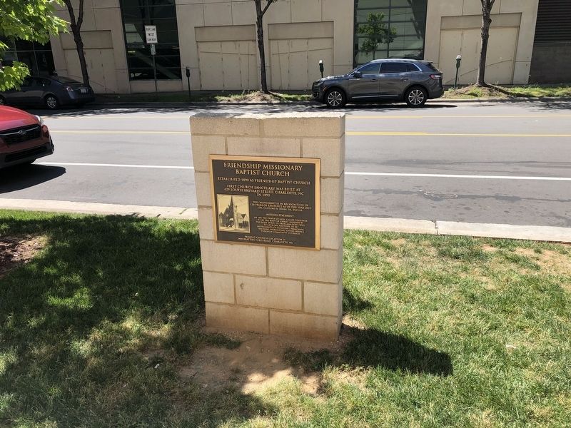
2. Friendship Missionary Baptist Church Marker
Credits. This page was last revised on February 3, 2023. It was originally submitted on June 20, 2021, by Devry Becker Jones of Washington, District of Columbia. This page has been viewed 847 times since then and 59 times this year. Photos: 1, 2. submitted on June 20, 2021, by Devry Becker Jones of Washington, District of Columbia.
