
Charlotte center city in Mecklenburg County, North Carolina — The American South (South Atlantic)
The Battle of Charlotte
September 26, 1780
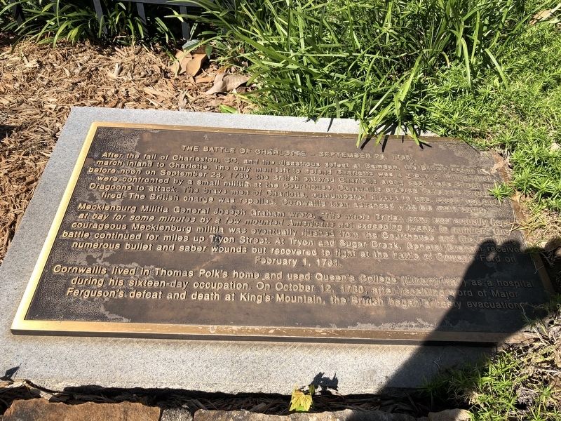
After the fall of Charleston, SC, and the disastrous defeat at Camden, the British began to march inland to Charlotte. The only men left to defend Charlotte was a group of militia. Just before noon on September 26, 1780, the British entered Charlotte along east Trade Street and were confronted by a small militia at the Courthouse. Cornwallis ordered Tarleton's Green Dragoons to attack. The brave men of Charlotte, outnumbered fifteen to one, stood fast and fired. The British charge was repelled. Cornwallis then advanced with his main corps.
Mecklenburg Militia General Joseph Graham wrote, The whole British army was actually kept at bay for some minutes by a mew mounted Americans not exceeding twenty in number." The courageous Mecklenburg militia was eventually flushed from the Courthouse and the rambling battle continued for mile up Tryon Street. At Tryon and Sugar Creek, General Graham received numerous bullet and saber wounds but recovered to fight at the battle of Cowan's Ford on February 1, 1781.
Cornwallis lived in Thomas Polk's home and used Queen's College (Liberty Hall) as a hospital during his sixteen-day occupation. On October 12, 1780, after receiving word of Major Ferguson's defeat and death at King's Mountain, the British began a hasty evacuation.
Topics.
this page online
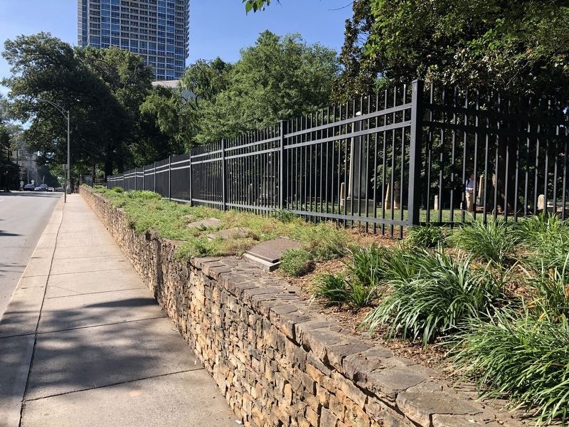
Location. 35° 13.753′ N, 80° 50.595′ W. Marker is in Charlotte, North Carolina, in Mecklenburg County. It is in Charlotte center city. It is on West 5th Street just west of North Church Street, on the right when traveling west. Touch for map. Marker is at or near this postal address: 200 W Trade St, Charlotte NC 28202, United States of America. Touch for directions.

Regionally, this marker is in North Carolina’s Piedmont. It is also in the American South and specifically in the Upper South. Globally, it is in North America, the Western Hemisphere, the Western World, and the Anglosphere. Historically, it finds itself in what was once the territory of the Mississippian Culture, one of the original Thirteen Colonies, one of the Confederate States of America, and the Antebellum South.
Other nearby markers. At least 8 other markers are within walking distance of this marker: Hornets' Nest (here, next to this marker); Captain James Jack's Ride (here, next to this marker); The Importance Of Religion
Credits. This page was last revised on June 20, 2024. It was originally submitted on June 20, 2021, by Devry Becker Jones of Washington, District of Columbia. This page has been viewed 666 times since then and 31 times this year. Photos: 1, 2. submitted on June 20, 2021, by Devry Becker Jones of Washington, District of Columbia.
Editor’s want-list for this marker. Clear photo of entire marker. • Can you help?
