Census Information
The 1790 census for Mecklenburg County lists a total population of 11,439. Enslaved African-Americans were 1,608 or 14% of this number. Nonslaveholding families numbered 1,319 or 766 and slaveholding families numbered 423 or 24%. Of this 24%, 145 families owned one slave, 167 families owned two to four slaves, and 111 families owned more than our slaves. On small slaveholding farms, slaves worked side by side with their owners. As the decades progressed through 1850, the number of slaves grew to 39% of the total population.
There were approximately twelve plantations in Mecklenburg County with more than twenty slaves. Many slaves were artisans with documented skills as blacksmiths, stonemasons, carpenters, furniture makers, coopers, potters, engineers, mechanics, weavers, and millers.
The 1840 census shows Mecklenburg County with a total population of 18,273 — 236 employed in manufacturing and trade, 97 employed in mining, 50 employed in commerce, and 1,693 employed in agriculture. Information from this census reflects Mecklenburg's emphasis on education. Only 190 white persons 20 and over could not read and write, one of the lowest numbers in the state. Of 158 students in universities or colleges for the entire state of North Carolina, 81 of them were from Mecklenburg County.
Topics. This historical marker is listed in
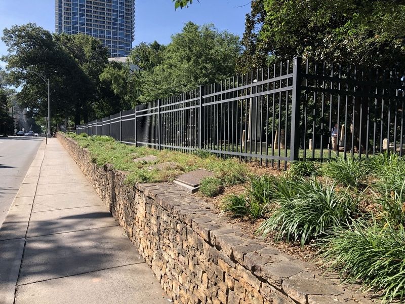
Location. 35° 13.75′ N, 80° 50.592′ W. Marker is in Charlotte, North Carolina, in Mecklenburg County. It is in Charlotte center city. Marker is on West 5th Street just west of North Church Street, on the right when traveling west. Touch for map. Marker is at or near this postal address: 200 W Trade St, Charlotte NC 28202, United States of America. Touch for directions.
Other nearby markers. At least 8 other markers are within walking distance of this marker. The War Between The States (here, next to this marker); Gold Mining (here, next to this marker); Early Education (here, next to this marker); Settlers' Cemetery (here, next to this marker); The Importance Of Religion (here, next to this marker); Prominent Charlotteans Buried At Settlers' Cemetery (here, next to this marker); Hornets' Nest (here, next to this marker); The Battle of Charlotte (a few steps from this marker). Touch for a list and map of all markers in Charlotte.
Credits. This page was last revised on February 3, 2023. It was originally submitted on June 20, 2021, by Devry Becker Jones of Washington, District of Columbia. This page has been viewed 157 times since then and 21 times this year. Photos: 1, 2. submitted on June 20, 2021, by Devry Becker Jones of Washington, District of Columbia.

