Santa Paula in Ventura County, California — The American West (Pacific Coastal)
The Depot, Santa Paula
Photographed by Craig Baker, June 19, 2021
1. Depot Marker
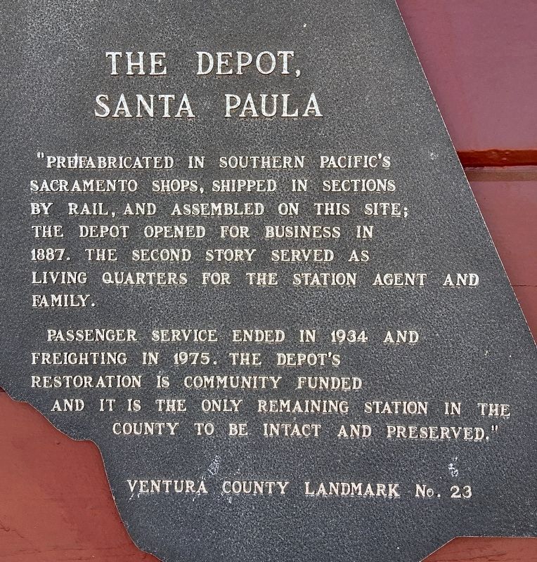
Prefabricated in Southern Pacific's Sacramento shops, shipped in sections by rail, and assembled on this site; the depot opened for business in 1887. The second story served as living quarters for the station agent and family.
Passenger service ended in 1934 and freighting in 1975. The depot's restoration is community funded and it is the only remaining station in the county to be intact and preserved.
Erected 1972 by Ventura County. (Marker Number 23.)
Topics and series. This historical marker is listed in these topic lists: Architecture • Railroads & Streetcars • Settlements & Settlers. In addition, it is included in the Southern Pacific Railroad, and the Ventura County Historical Landmarks series lists. A significant historical year for this entry is 1887.
Location. 34° 21.348′ N, 119° 3.654′ W. Marker is in Santa Paula, California, in Ventura County. It is at the intersection of 10th Street and Santa Barbara Street, on the left when traveling north on 10th Street. Touch for map. Marker is at or near this postal address: 200 N 10th St, Santa Paula CA 93060, United States of America. Touch for directions.

Regionally,
this page online
Other nearby markers. At least 8 other markers are within walking distance of this marker: Saint Francis Dam Disaster Memorial (within shouting distance of this marker); Glen Tavern Inn (about 500 feet away, measured in a direct line); Birthplace of Union Oil Company of California (about 700 feet away); Water Well Drilling Rig (about 800 feet away); First Christian Church (approx. 0.2 miles away); Rigi-Gated Fumigator (approx. 0.2 miles away); The Town Clock (approx. 0.2 miles away); McKevett School (approx. ¼ mile away). Touch for a list and map of all markers in Santa Paula.
Also see . . . List of Ventura County Historical Landmarks. (Submitted on October 8, 2021.)
Additional keywords. Moreton Bay Fig Tree,
Photographed by Craig Baker, June 19, 2021
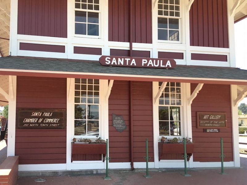
2. Depot Marker
Photographed by Craig Baker, June 19, 2021
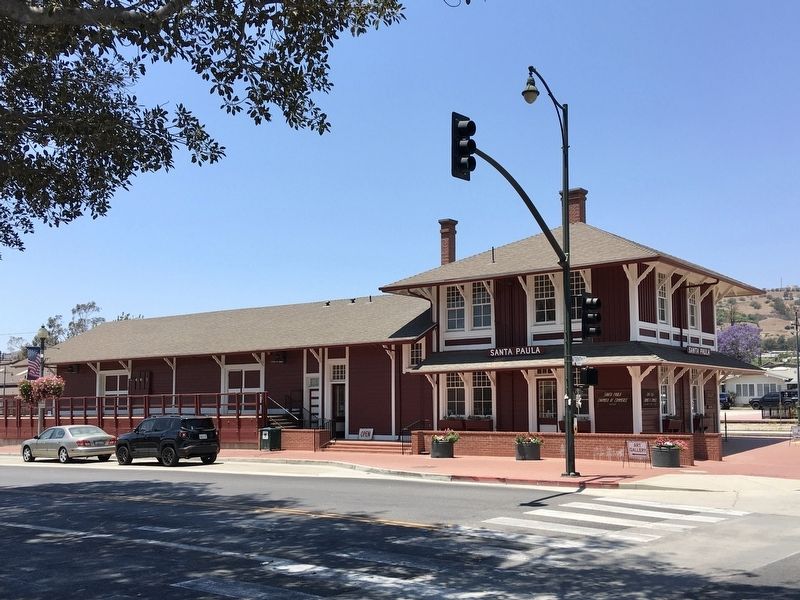
3. The Santa Paula Depot
Photographed by Craig Baker, June 19, 2021
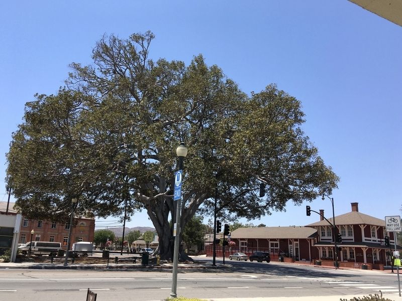
4. Moreton Bay Fig Tree
Located across the street, planted in 1879, Ventura County Historical Landmark No. 79.
Photographed by Craig Baker, June 19, 2021
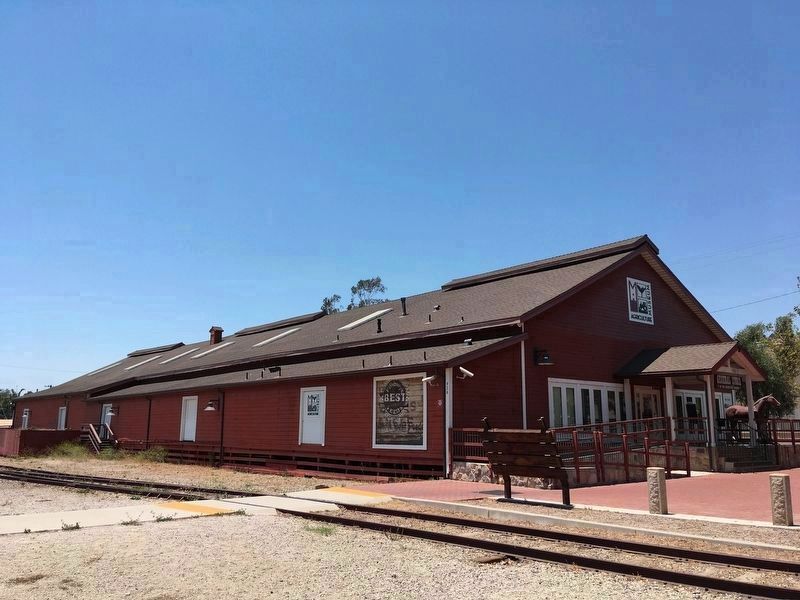
5. Agricultural Museum
Located across the tracks, built c.1890 as a produce warehouse. It was a feed, supply, and antique store until 2004. Ventura County Historical Landmark No. 69 - ‘The Mill’.
Credits. This page was last revised on February 22, 2026. It was originally submitted on June 21, 2021, by Craig Baker of Sylmar, California. This page has been viewed 594 times since then and 30 times this year. Photos: 1, 2, 3, 4, 5. submitted on June 21, 2021, by Craig Baker of Sylmar, California.
