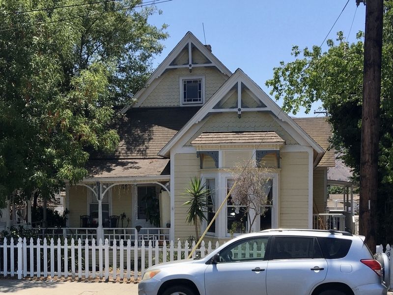
Santa Paula in Ventura County, California — The American West (Pacific Coastal)
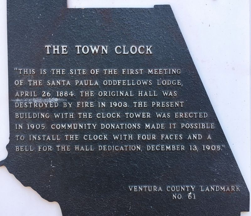
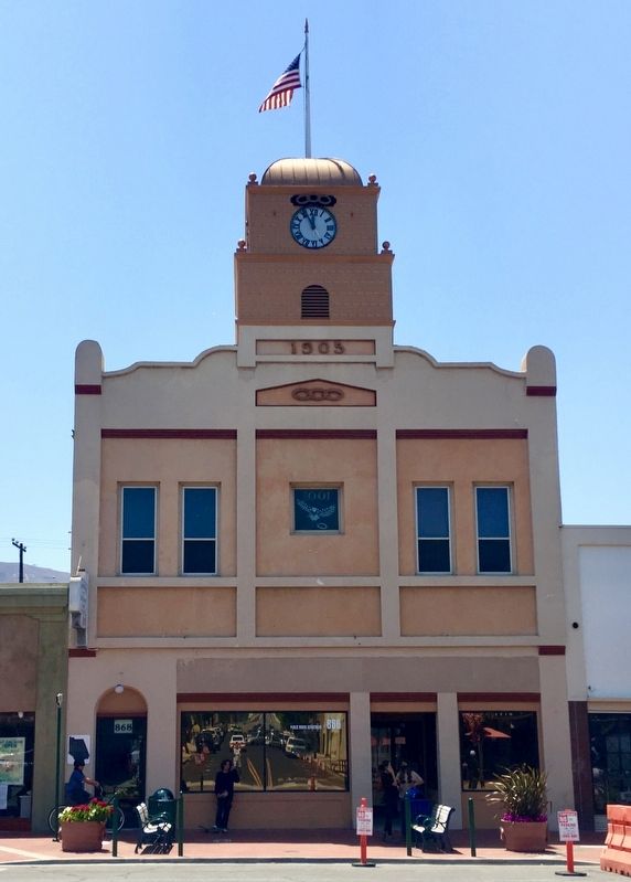
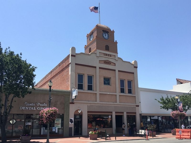
The Town Clock
Erected 1980 by Ventura County. (Marker Number 61.)
Topics and series. This historical marker is listed in these topic lists: Architecture • Fraternal or Sororal Organizations. In addition, it is included in the Ventura County Historical Landmarks series list. A significant historical date for this entry is April 26, 1884.
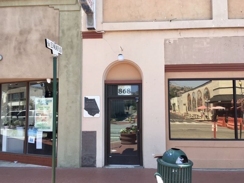
Location. 34° 21.183′ N, 119° 3.756′ W. Marker is in Santa Paula, California, in Ventura County. Marker is at the intersection of Main Street and Davis Street, on the left when traveling west on Main Street. Touch for map. Marker is at or near this postal address: 868 E Main St, Santa Paula CA 93060, United States of America. Touch for directions.
Other nearby markers. At least 8 other markers are within walking distance of this marker. Glen Tavern Inn (about 700 feet away, measured in a direct line); Water Well Drilling Rig (approx. 0.2 miles away); Birthplace of Union Oil Company of California (approx. 0.2 miles away); First Christian Church (approx. 0.2 miles away); The Ebell Club (approx. 0.2 miles away); The Depot, Santa Paula (approx. 0.2 miles away); Saint Francis Dam Disaster Memorial (approx. ¼ mile away); Isbell School (approx. 0.4 miles away). Touch for a list and map of all markers in Santa Paula.
Credits. This page was last revised on June 22, 2021. It was originally submitted on June 22, 2021, by Craig Baker of Sylmar, California. This page has been viewed 342 times since then and 56 times this year. Photos: 1, 2, 3, 4, 5. submitted on June 22, 2021, by Craig Baker of Sylmar, California.
