Near Dixie in Caddo Parish, Louisiana — The American South (West South Central)
Cornerstone Missionary Baptist Church
1889
| — | Historic Site | — |
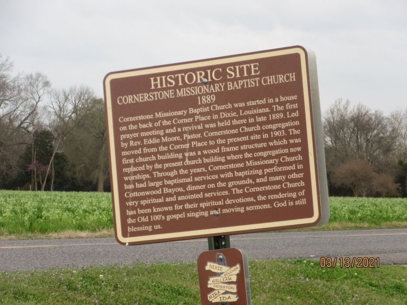
Photographed by Jason Armstrong, March 13, 2021
1. Cornerstone Missionary Baptist Church Marker
Topics. This historical marker is listed in this topic list: Religion & Religious Structures. A significant historical year for this entry is 1889.
Location. 32° 42.132′ N, 93° 50.093′ W. Marker is near Dixie, Louisiana, in Caddo Parish. It is on Dixie Shreveport Road (Louisiana Route 3049) south of Route 169, on the left when traveling
this page online

Regionally, this marker is in North Louisiana. It is also in the American South, specifically in the Deep South, and in the Piney Woods. Globally, it is in North America, a Gulf of Mexico state, the Western Hemisphere, the Western World, and the Anglosphere. Historically, it finds itself in what was once the territory of the Mississippian Culture, the Louisiana Purchase, one of the Confederate States of America, and the Antebellum South.
Other nearby markers. At least 8 other markers are within 4 miles of this marker, measured as the crow flies: Killarney Farm (approx. 0.2 miles away); Dixie Presbyterian Church (approx. 0.4 miles away); North Plantation (approx. 0.6 miles away); Dickson Plantation Home (approx. 0.6 miles away); Caddo Indian Dugout Canoe (approx. one mile away); Mounds Plantation (approx. 2.9 miles away); Louisiana Maneuvers Led by General Patton (approx. 3.1 miles away); Belcher High School (approx. 3.1 miles away). Touch for a list and map
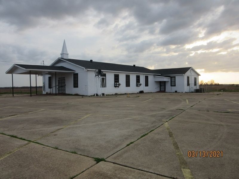
Photographed by Jason Armstrong, March 13, 2021
2. Cornerstone Missionary Baptist Church Marker
Credits. This page was last revised on June 23, 2021. It was originally submitted on June 23, 2021, by Jason Armstrong of Talihina, Oklahoma. This page has been viewed 772 times since then and 56 times this year. Photos: 1, 2. submitted on June 23, 2021, by Jason Armstrong of Talihina, Oklahoma. • Mark Hilton was the editor who published this page.
