Badin in Stanly County, North Carolina — The American South (South Atlantic)
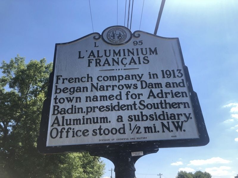
L'Aluminium Français
Erected 1995 by Division of Archives and History. (Marker Number L-95.)
Topics and series. This historical marker is listed in this topic list: Industry & Commerce. In addition, it is included in the North Carolina Division of Archives and History series list. A significant historical year for this entry is 1913.
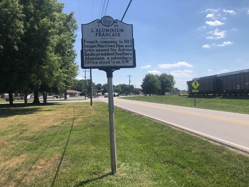
Location. 35° 24.413′ N, 80° 6.954′ W. Marker is in Badin, North Carolina, in Stanly County. Marker is on State Highway 740, 0.1 miles north of Falls Road (County Road 1719), on the right when traveling north. Touch for map. Marker is at or near this postal address: 292 NC-740, Badin NC 28009, United States of America. Touch for directions.
Other nearby markers. At least 8 other markers are within 15 miles of this marker, measured as the crow flies. The Town of Badin (about 500 feet away, measured in a direct line); Hardaway Site (approx. ¼ mile away); Randall's United Methodist Church (approx. 9.4 miles away); Barringer Mine (approx. 9.7 miles away); Zion United Methodist Church (approx. 10½ miles away); Edmund DeBerry (approx. 11.3 miles away); A.S. McRae Building (approx. 14.7 miles away); O.C. Bruton Store (approx. 14.7 miles away). Touch for a list and map of all markers in Badin.
Credits. This page was last revised on June 23, 2021. It was originally submitted on June 23, 2021, by Devry Becker Jones of Washington, District of Columbia. This page has been viewed 119 times since then and 15 times this year. Photos: 1, 2. submitted on June 23, 2021, by Devry Becker Jones of Washington, District of Columbia.

