Springfield in Clark County, Ohio — The American Midwest (Great Lakes)
Historic National Road
The Road That Helped Build America
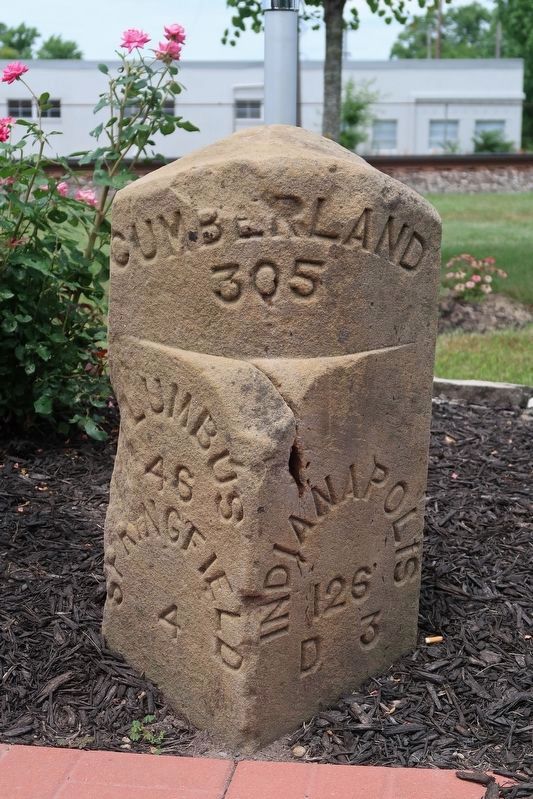
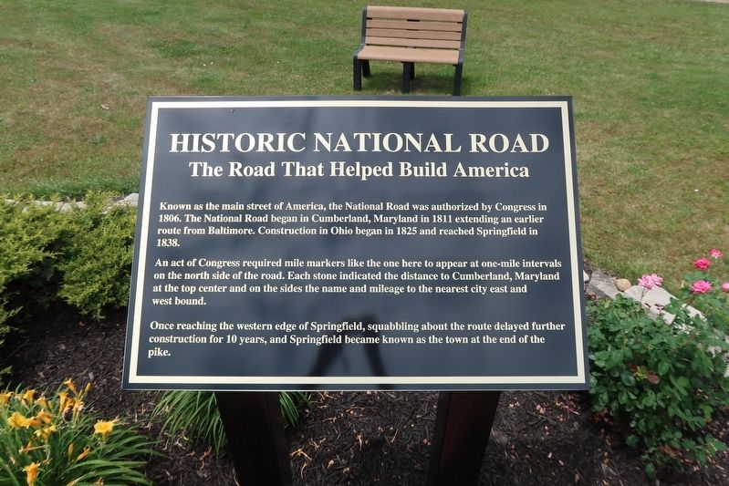
An act of Congress required mile markers like the one here to appear at one-mile intervals on the north side of the road. Each stone indicated the distance to Cumberland, Maryland at the top center and on the sides the name and mileage to the nearest city east and west bound.
Once reaching the western edge of Springfield, squabbling about the route delayed further construction for 10 years, and Springfield became known as the town at the end of the pike.
Topics and series. This historical marker is listed in this topic list: Roads & Vehicles. In addition, it is included in the The Historic National Road series list. A significant historical year for this entry is 1806.
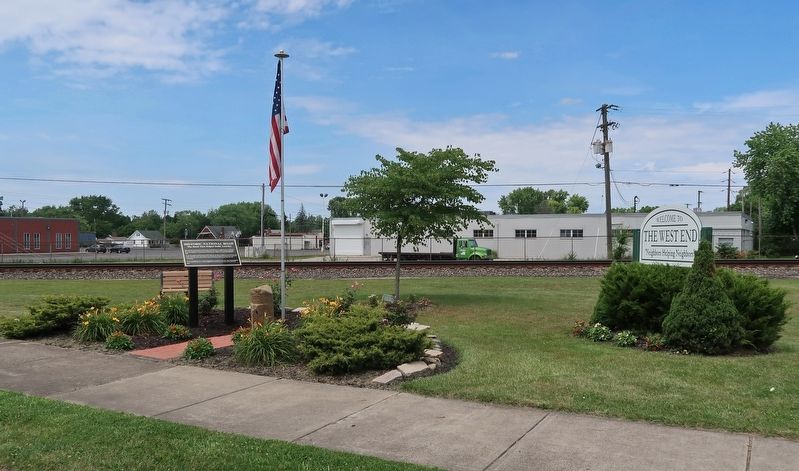
Location. 39° 55.579′ N, 83° 50.525′ W. Marker is in Springfield, Ohio, in Clark County. Marker is on West Main Street west of Snyder Street, on the right when traveling west. Touch for map. Marker is at or near this postal address: 1919 West Main Street, Springfield OH 45504, United States of America. Touch for directions.
Other nearby markers. At least 8 other markers are within 2 miles of this marker, measured as the crow flies. The National Road (a few steps from this marker); Kenton's Stockade (approx. 0.3 miles away); The Rose City (approx. 0.3 miles away); Pennsylvania House / The National Road (approx. half a mile away); Mile Markers (approx. half a mile away); Snyder Park (approx. 0.9 miles away); Davey Moore Park (approx. one mile away); Clark County Revolutionary War Memorial (approx. 1.3 miles away). Touch for a list and map of all markers in Springfield.
Also see . . . National Road. Entry in the Ohio History Central online encyclopedia compiled by Ohio History Connection. (Submitted on June 24, 2021, by Duane and Tracy Marsteller of Murfreesboro, Tennessee.)

Courtesy of Thomas P. Martin, June 23, 2021
3. Historic National Road Marker
This mile marker told westbound travelers they were three miles from Donnelsville, Ohio and 126 miles from Indianapolis, and eastbound travelers that Springfield, Ohio was four miles away and Columbus, Ohio was 46 miles away. This stone was placed 305 miles west of the road's beginning in Cumberland, Maryland but is now about three miles from its original location.
Credits. This page was last revised on June 24, 2021. It was originally submitted on June 24, 2021, by Duane and Tracy Marsteller of Murfreesboro, Tennessee. This page has been viewed 339 times since then and 42 times this year. Photos: 1, 2, 3. submitted on June 24, 2021, by Duane and Tracy Marsteller of Murfreesboro, Tennessee.

