Near Pioneer in Amador County, California — The American West (Pacific Coastal)
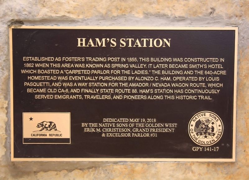
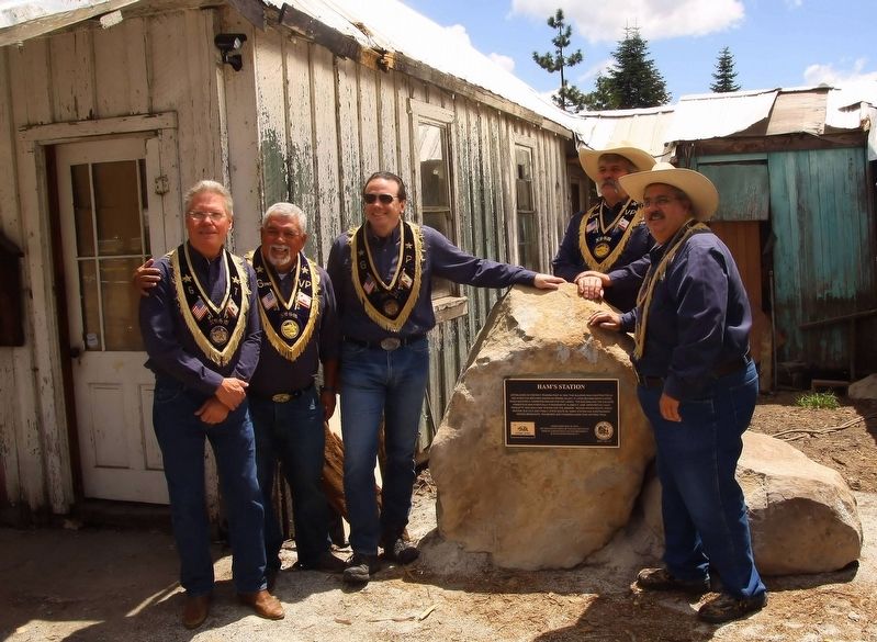
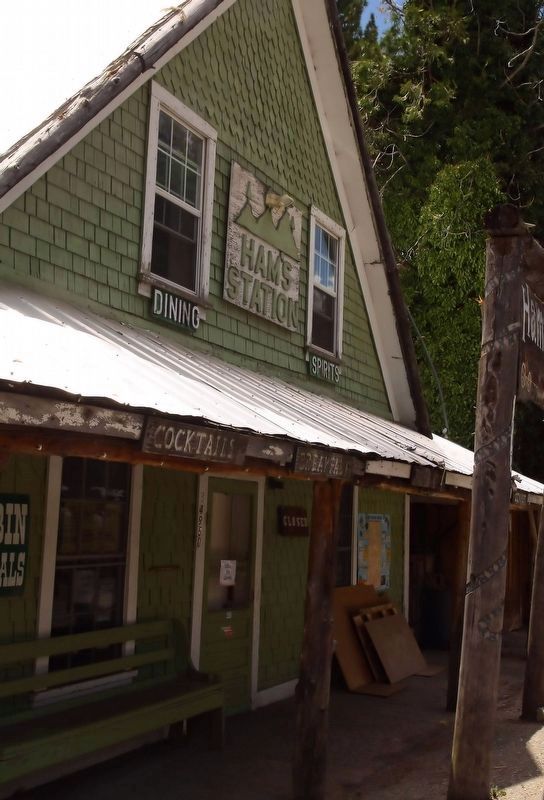
Ham's Station
Erected 2018 by Native Sons of the Golden West, Erik M. Christesen Grand President & Excelsior Parlor #31. (Marker Number 141-17.)
Topics and series. This historical marker is listed in this topic list: Settlements & Settlers. In addition, it is included in the Native Sons/Daughters of the Golden West series list. A significant historical year for this entry is 1855.
Location. 38° 32.67′ N, 120° 22.622′ W. Marker is near Pioneer, California, in Amador County. Marker is on Amador/Nevada Highway (State Highway 88) 0.6 miles Panther Creek Road, on the right when traveling east. Touch for map. Marker is at or near this postal address: 34950 CA-88, Pioneer CA 95666, United States of America. Touch for directions.
Other nearby markers. At least 8 other markers are within 18 miles of this marker, measured as the crow flies. Carson Trail - Leek Springs (approx. 9.8 miles away); HOSTAGE: A most painful experience of human suffering (approx. 12.7 miles away); Keepers of the Land! (approx. 12.9 miles away); West Point (approx. 13.1 miles away); Sandy Gulch (approx. 14.1 miles away); Rail Road Flat (approx. 15.7 miles away); Jenkinson Lake (approx. 16 miles away); Carson Trail - To Pleasant Valley (approx. 17.2 miles away).
Credits. This page was last revised on July 17, 2021. It was originally submitted on June 25, 2021, by James King of San Miguel, California. This page has been viewed 342 times since then and 64 times this year. Photos: 1, 2, 3. submitted on June 25, 2021, by James King of San Miguel, California. • Syd Whittle was the editor who published this page.


